MyTopo
The Peninsula Oregon US Topo Map
Couldn't load pickup availability
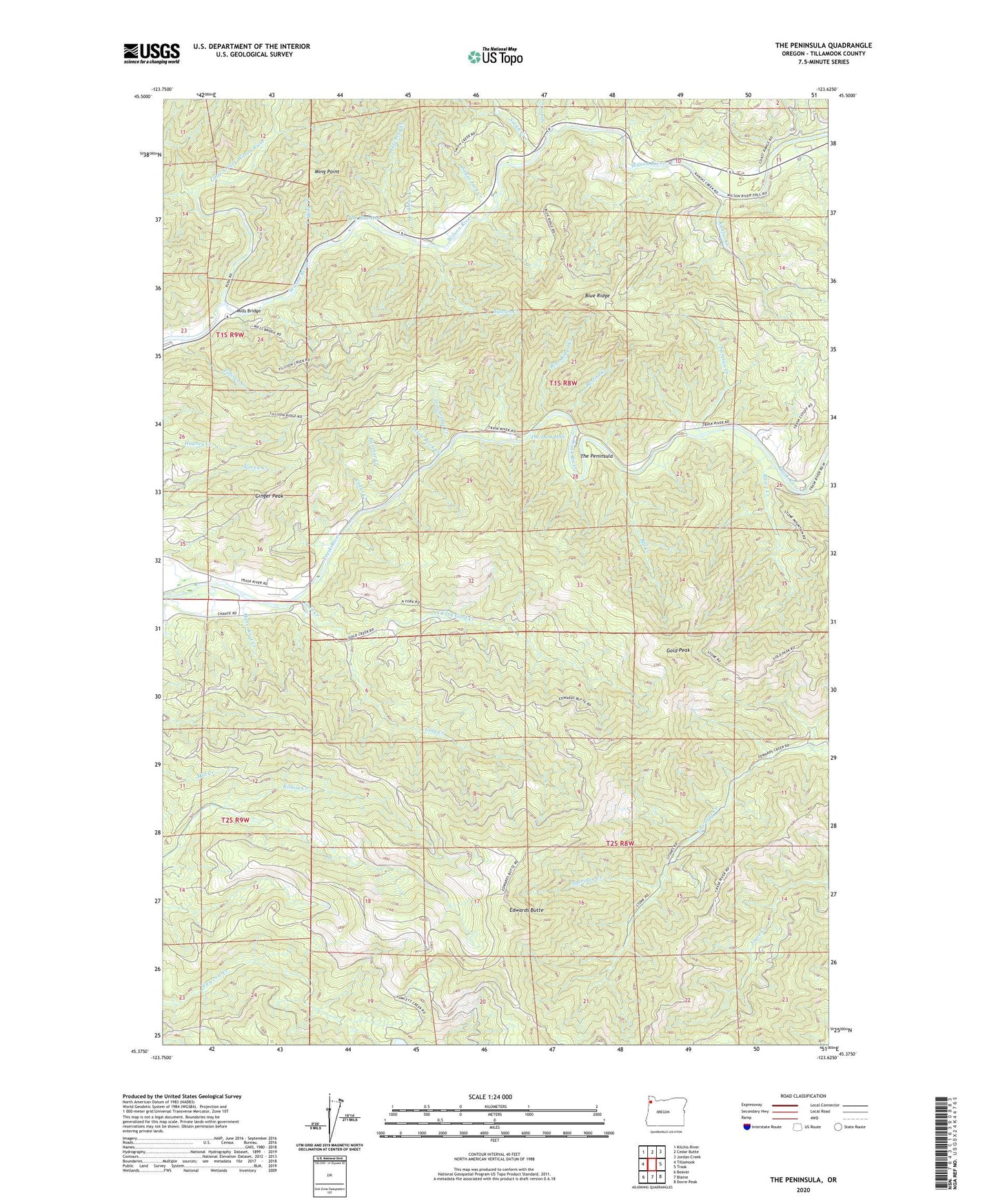
2023 topographic map quadrangle The Peninsula in the state of Oregon. Scale: 1:24000. Based on the newly updated USGS 7.5' US Topo map series, this map is in the following counties: Tillamook. The map contains contour data, water features, and other items you are used to seeing on USGS maps, but also has updated roads and other features. This is the next generation of topographic maps. Printed on high-quality waterproof paper with UV fade-resistant inks.
Quads adjacent to this one:
West: Tillamook
Northwest: Kilchis River
North: Cedar Butte
Northeast: Jordan Creek
East: Trask
Southeast: Dovre Peak
South: Blaine
Southwest: Beaver
This map covers the same area as the classic USGS quad with code o45123d6.
Contains the following named places: Bill Creek, Blue Ridge, Blue Ridge Creek, Burton Creek, Cedar Creek, Chance Creek, Charles Sprague Memorial Wayside, Deadman Creek, Demoley Wilson County Park, Deswort Dairy, Edwards Butte, Fern Creek, Fish Corner, Ginger Peak, Gold Creek, Gold Peak, Hanenkrat Creek, Hatchery Creek, Kansas Creek, Little North Fork Wilson River, Little Rock Creek, Lorens Drift Boat Launch, Lower Peninsula / Last Chance, Mills Bridge, Mills Bridge County Drift Boat Launch, Ming Creek, Ming Point, Mining Creek, Negro Jack Creek, North Fork Gold Creek, Panther Creek, Peninsula Day-Use Area, Rawe Creek, Samson Creek, Sheridan Creek, Siskeyville, Siskeyville County Pole Slide Drift Boat Launch, Slide Creek, Smith Creek, Stone Camp Pole Slide Boat Launch, Stones Gap, Stones Road Boat Launch, Sylvan Creek, The Blue Hole, The Dam Hole, The Peninsula, Tillamook Division, Tillison Creek, Trask River State Fish Hatchery, Trowbridge Creek, Upper Peninsula Pole Slide Boat Ramp, Zig Zag Creek