MyTopo
Lake Creek Oregon US Topo Map
Couldn't load pickup availability
Also explore the Lake Creek Forest Service Topo of this same quad for updated USFS data
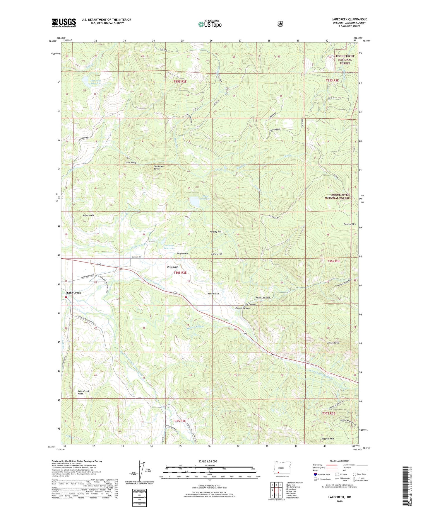
2024 topographic map quadrangle Lake Creek in the state of Oregon. Scale: 1:24000. Based on the newly updated USGS 7.5' US Topo map series, this map is in the following counties: Jackson. The map contains contour data, water features, and other items you are used to seeing on USGS maps, but also has updated roads and other features. This is the next generation of topographic maps. Printed on high-quality waterproof paper with UV fade-resistant inks.
Quads adjacent to this one:
West: Brownsboro
Northwest: Obenchain Mountain
North: Butte Falls
Northeast: Big Butte Springs
East: Willow Lake
Southeast: Robinson Butte
South: Grizzly Peak
Southwest: Rio Canyon
This map covers the same area as the classic USGS quad with code o42122d5.
Contains the following named places: Brophy Hill, Esmond Mountain, Farlow Hill, Gardener Butte, Gardener Dam, Gardener Reservoir, Hanley North Canal, Hanley South Canal, Heppsie Mountain, Horse Creek, Keno Gulch, Lake Creek, Lake Creek Flats, Lake Creek Historical Society Pioneer Hall Museum, Lake Creek Rural Fire District, Little Baldy, Long Canyon, Lost Creek, Maple Creek, Meyers Hill, Mud Creek, North Fork Little Butte Creek, Peck Gulch, Poverty Hill, Slinger Rock, South Fork Little Butte Creek, South Fork Long Branch, Star Lake Dam, Star Lake Reservoir, Wade Dam, Wade Reservoir, Wasson Canyon, Yew Creek