MyTopo
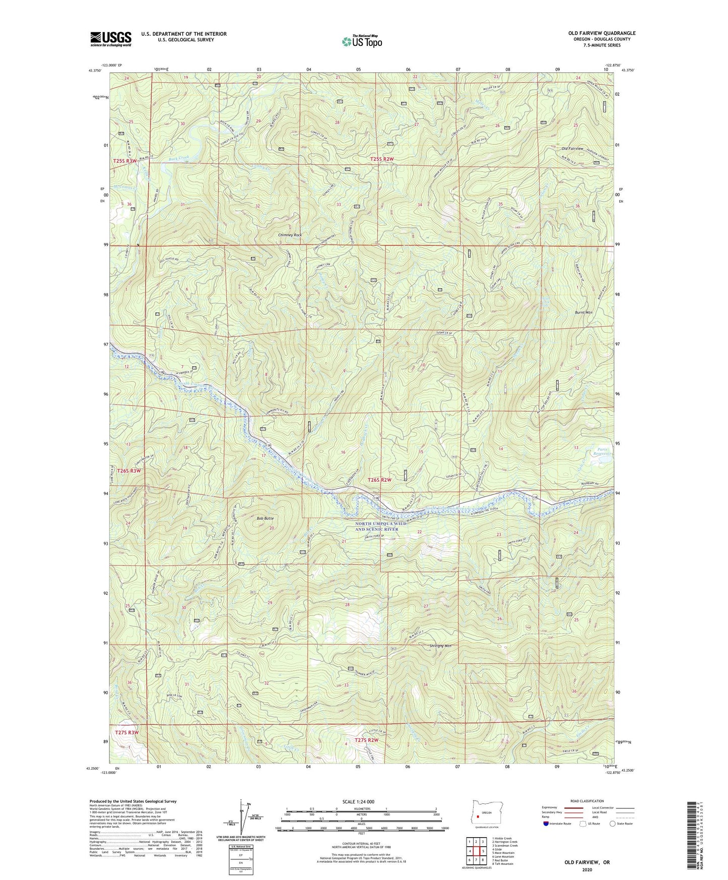
Old Fairview Oregon US Topo Map
Couldn't load pickup availability
Also explore the Old Fairview Forest Service Topo of this same quad for updated USFS data
2023 topographic map quadrangle Old Fairview in the state of Oregon. Scale: 1:24000. Based on the newly updated USGS 7.5' US Topo map series, this map is in the following counties: Douglas. The map contains contour data, water features, and other items you are used to seeing on USGS maps, but also has updated roads and other features. This is the next generation of topographic maps. Printed on high-quality waterproof paper with UV fade-resistant inks.
Quads adjacent to this one:
West: Glide
Northwest: Hinkle Creek
North: Harrington Creek
Northeast: Scaredman Creek
East: Mace Mountain
Southeast: Taft Mountain
South: Red Butte
Southwest: Lane Mountain
This map covers the same area as the classic USGS quad with code o43122c8.
Contains the following named places: Bob Butte, Bob Creek, Burnt Mountain, Cedar Creek, Chimney Rock, Clay Creek, Cole Creek, Conley Creek, Hill Creek, Hogback Creek, Honey Creek, Kelly Creek, McComas Creek, North Umpqua Village, Old Fairview, Paris Dam, Paris Reservoir, Richard G Baker Park, Shivigny Mountain, Smith Springs Campground, Smiths Ford, Susan Creek, Susan Creek Campground Boat Launch, Susan Creek Falls, Susan Creek Falls Recreation Area, Susan Creek Park, Swiftwater Park