MyTopo
Talent Oregon US Topo Map
Couldn't load pickup availability
Also explore the Talent Forest Service Topo of this same quad for updated USFS data
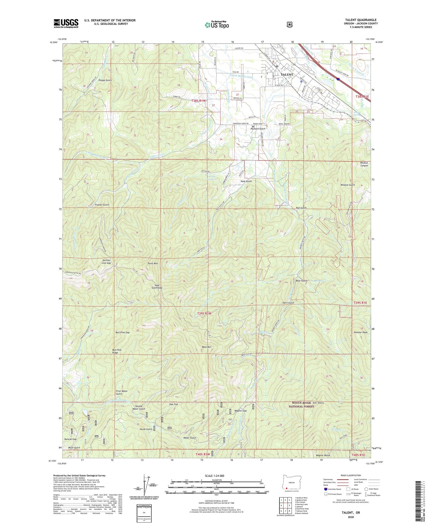
2023 topographic map quadrangle Talent in the state of Oregon. Scale: 1:24000. Based on the newly updated USGS 7.5' US Topo map series, this map is in the following counties: Jackson. The map contains contour data, water features, and other items you are used to seeing on USGS maps, but also has updated roads and other features. This is the next generation of topographic maps. Printed on high-quality waterproof paper with UV fade-resistant inks.
Quads adjacent to this one:
West: Sterling Creek
Northwest: Medford West
North: Medford East
Northeast: Rio Canyon
East: Ashland
Southeast: Mount Ashland
South: Siskiyou Peak
Southwest: Dutchman Peak
This map covers the same area as the classic USGS quad with code o42122b7.
Contains the following named places: Arrastra Creek, Ashland Mine, Bald Mountain, Basin Creek, Bear Gulch, Bear Wallow, Brickpile Ranch, Bull Pine Gap, Bull Pine Ridge, Camelot Theatre, Carter Orchards, City of Talent, Cygnet Farm, Duncan Gap, First Water Gulch, Frazier Gulch, Frederick, Frederick Lateral, Glade Creek, Goose Creek, Holton Creek, Hope Spring, Horn Gulch, Jeffery Creek, Kerby Reservoir, Meyer Orchards, Mule Gulch, Myer Creek, North Fork Anderson Creek, Oak Flat, Packard Gulch, Panther Peak, Phipps Gulch, Point Mountain, Pollard Spring, Rail Gulch, Second Water Gulch, Section Line Gap, Skunk Gulch, South Fork Anderson Creek, Stearn Cemetery, Talent, Talent Branch Library, Talent City Hall, Talent Elementary School, Talent Historical Society and Museum, Talent Middle School, Talent Municipal Court, Talent Park and Ride, Talent Police Department, Talent Post Office, Talent Public Works Department Office, Upper West Lateral, Wagner Creek, Wagner Gap, Water Gulch, West Lateral, Yank Gulch, Yank Gulch Gap, ZIP Code: 97540