MyTopo
Ernest Pennsylvania US Topo Map
Couldn't load pickup availability
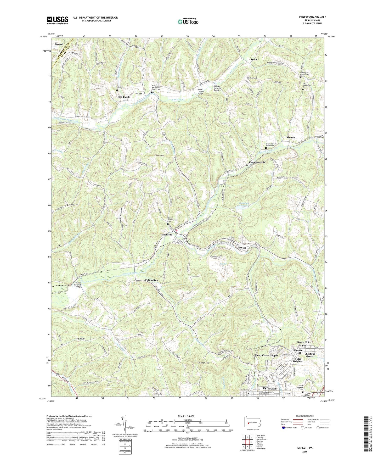
2023 topographic map quadrangle Ernest in the state of Pennsylvania. Scale: 1:24000. Based on the newly updated USGS 7.5' US Topo map series, this map is in the following counties: Indiana, Armstrong. The map contains contour data, water features, and other items you are used to seeing on USGS maps, but also has updated roads and other features. This is the next generation of topographic maps. Printed on high-quality waterproof paper with UV fade-resistant inks.
Quads adjacent to this one:
West: Elderton
Northwest: Rural Valley
North: Plumville
Northeast: Marion Center
East: Clymer
Southeast: Brush Valley
South: Indiana
Southwest: McIntyre
This map covers the same area as the classic USGS quad with code o40079f2.
Contains the following named places: Blue Spruce County Park, Borough of Creekside, Borough of Ernest, Bryan Hill Manor, Center Presbyterian Cemetery, Chambersville, Chambersville Post Office, Chestnut Grove, Chevy Chase Heights, Chevy Chase Heights Census Designated Place, Coleman, Coleman Hill, Creekside, Creekside Post Office, Creekside Volunteer Fire Department Station 260, Creekside Washington School, Crooked Creek Baptist Cemetery, Crooked Creek Church, Cummings Dam, Cummings Reservoir, Davis, Davis Airport, Depression Storage Area Dam, Ernest, Five Points, Fowler Heights, Fulton Run, Hamon Covered Bridge, Harmony Grove Cemetery, Harmony Grove Church, Indiana Area Junior High School, Indiana Area Senior High School, Indiana Country Club, Kimmel, Kunkle Hill, Lions Health Camp, Main Impoundment, McKee Run, Meadow Lane Golf Course, Mudlick Run, Old Washington Cemetery, Pleasant Hill, Plum Creek Church, Plum Creek Presbyterian Church Cemetery, Pond F, R and P Coal Company Mine Waste Bank Dam, Reddings Run, Saint Bernards Cemetery, Saint Bernards Parochial School, Speedy Cemetery, Sugarcamp Run, Thomas Covered Bridge, Township of Washington, Trusal Covered Bridge, Twomile Run, Vinegar Hill, Washington Church, Washington Church Cemetery, Willet, ZIP Codes: 15701, 15723, 15732, 15739


