MyTopo
Keeneyville Pennsylvania US Topo Map
Couldn't load pickup availability
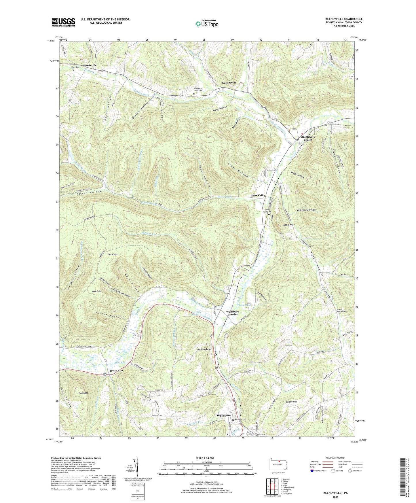
2023 topographic map quadrangle Keeneyville in the state of Pennsylvania. Scale: 1:24000. Based on the newly updated USGS 7.5' US Topo map series, this map is in the following counties: Tioga. The map contains contour data, water features, and other items you are used to seeing on USGS maps, but also has updated roads and other features. This is the next generation of topographic maps. Printed on high-quality waterproof paper with UV fade-resistant inks.
Quads adjacent to this one:
West: Asaph
Northwest: Knoxville
North: Elkland
Northeast: Tioga
East: Crooked Creek
Southeast: Cherry Flats
South: Antrim
Southwest: Tiadaghton
This map covers the same area as the classic USGS quad with code o41077g3.
Contains the following named places: Baldwin Run, Bark Slide Trail, Barlow Hill, Button Hollow, Canada Run, Carpenter Trail, Cass Trail, Catlin Hollow, Catlin Hollow Cemetery, Catlin Hollow Church, Charleston Creek, Christian Hill, Cobble Knoll, Daly Hollow, Fuller Hollow, Heise Run, Hemlock Flats Run, Hemlock Flats Trail, Hibard Hollow, Horse Thief Run, Keck Hollow, Keeney Hollow, Keeneyville, Kelsey Creek, Log Cabin Spring, Losey Creek, Lost Trail, Marsh Creek School, Matson Trail, Middlebury Airport, Middlebury Center, Middlebury Center Post Office, Middlebury Township Volunteer Fire Department, Middlebury Union Cemetery, Monks Hollow, Morris Branch, Morris Marsh, Niles Hollow, Niles Trail, Niles Valley, Niles Valley Cemetery, Norris Brook, Oak Point, Oak Ridge, Oak Ridge Trail, Oil Well Hollow, Roe Hollow, Roe Trail, Root Hollow, Root Trail, Roundtop, Sanders Creek, School House Trail, Schoolhouse Hollow, Short Cemetery, Shortsville, Smith Run, Smith Run Trail, Spoor Hollow, Stokesdale, Sweet Hollow, Tioga County, Township of Middlebury, Wedge Hollow, Wellsboro Cemetery, Wellsboro Junction, Wellsboro Post Office, Whitehouse Hollow, Wolf Run


