MyTopo
Lynch Pennsylvania US Topo Map
Couldn't load pickup availability
Also explore the Lynch Forest Service Topo of this same quad for updated USFS data
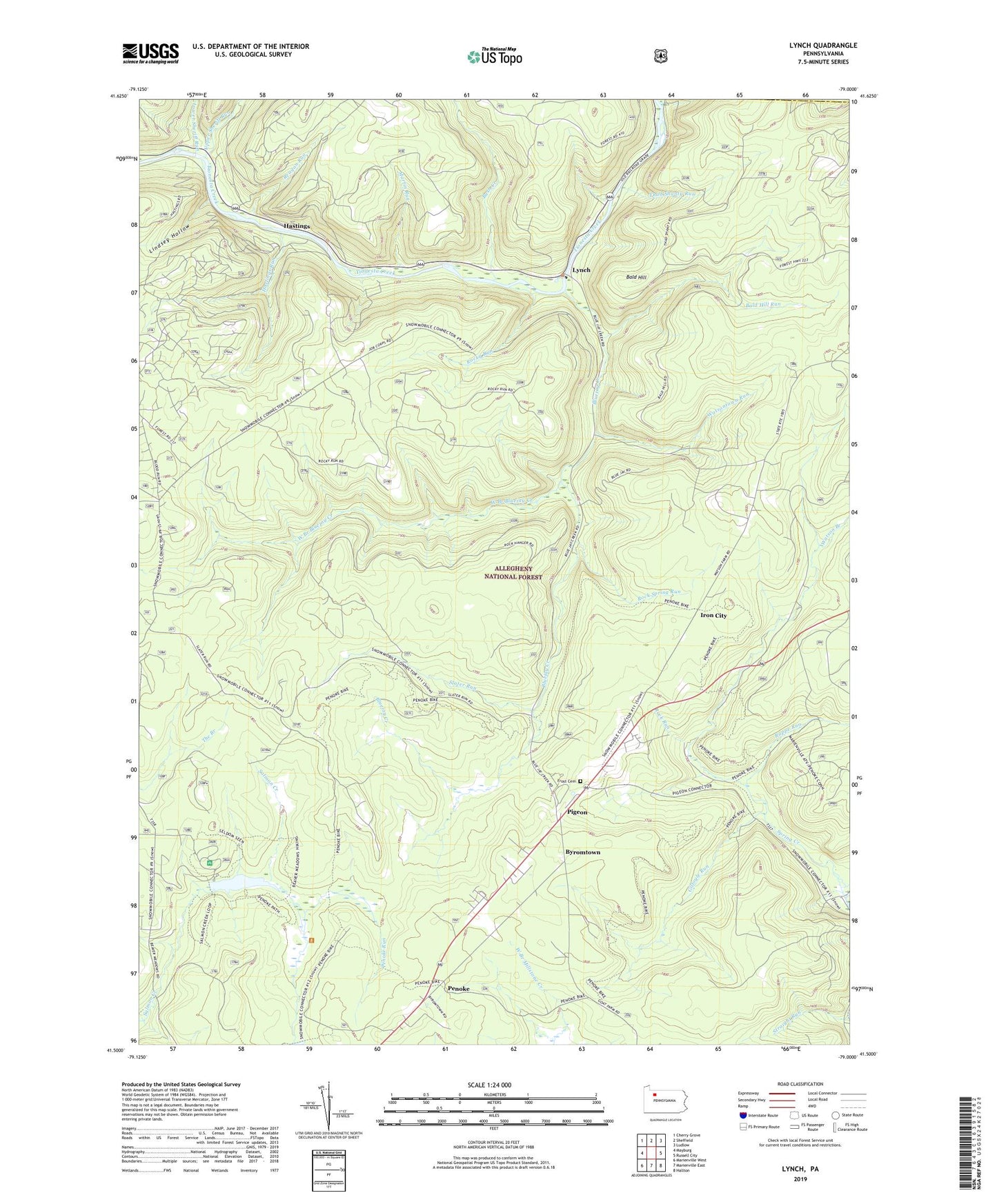
2023 topographic map quadrangle Lynch in the state of Pennsylvania. Scale: 1:24000. Based on the newly updated USGS 7.5' US Topo map series, this map is in the following counties: Forest, Warren. The map contains contour data, water features, and other items you are used to seeing on USGS maps, but also has updated roads and other features. This is the next generation of topographic maps. Printed on high-quality waterproof paper with UV fade-resistant inks.
Quads adjacent to this one:
West: Mayburg
Northwest: Cherry Grove
North: Sheffield
Northeast: Ludlow
East: Russell City
Southeast: Hallton
South: Marienville East
Southwest: Marienville West
This map covers the same area as the classic USGS quad with code o41079e1.
Contains the following named places: Bald Hill, Bald Hill Run, Beaver Meadows Dam, Beaver Meadows Lake, Beaver Meadows Recreation Site, Blue Jay Spring Recreation Area, Bluejay Creek, Bush Creek, Byromtown, Deadman Corners, Frost Cemetery, Gilfoyle Run, Hastings, Hastings Run, Iron City, Lindsey Hollow, Lower Sheriff Run, Lynch, Marienville Rod and Gun Club, Martin Run, Penoke, Penoke Run, Pigeon, Rappe Run, Reagan Run, Rock Run, Rock Spring Run, Rocky Run, Slater Run, Straight Run, Thad Shanty Run, Township of Howe, Upper Sheriff Run, Watson Branch, Watson Farm, Watsontown Run, West Branch Bluejay Creek


