MyTopo
Old Baldy Mountain South Dakota US Topo Map
Couldn't load pickup availability
Also explore the Old Baldy Mountain Forest Service Topo of this same quad for updated USFS data
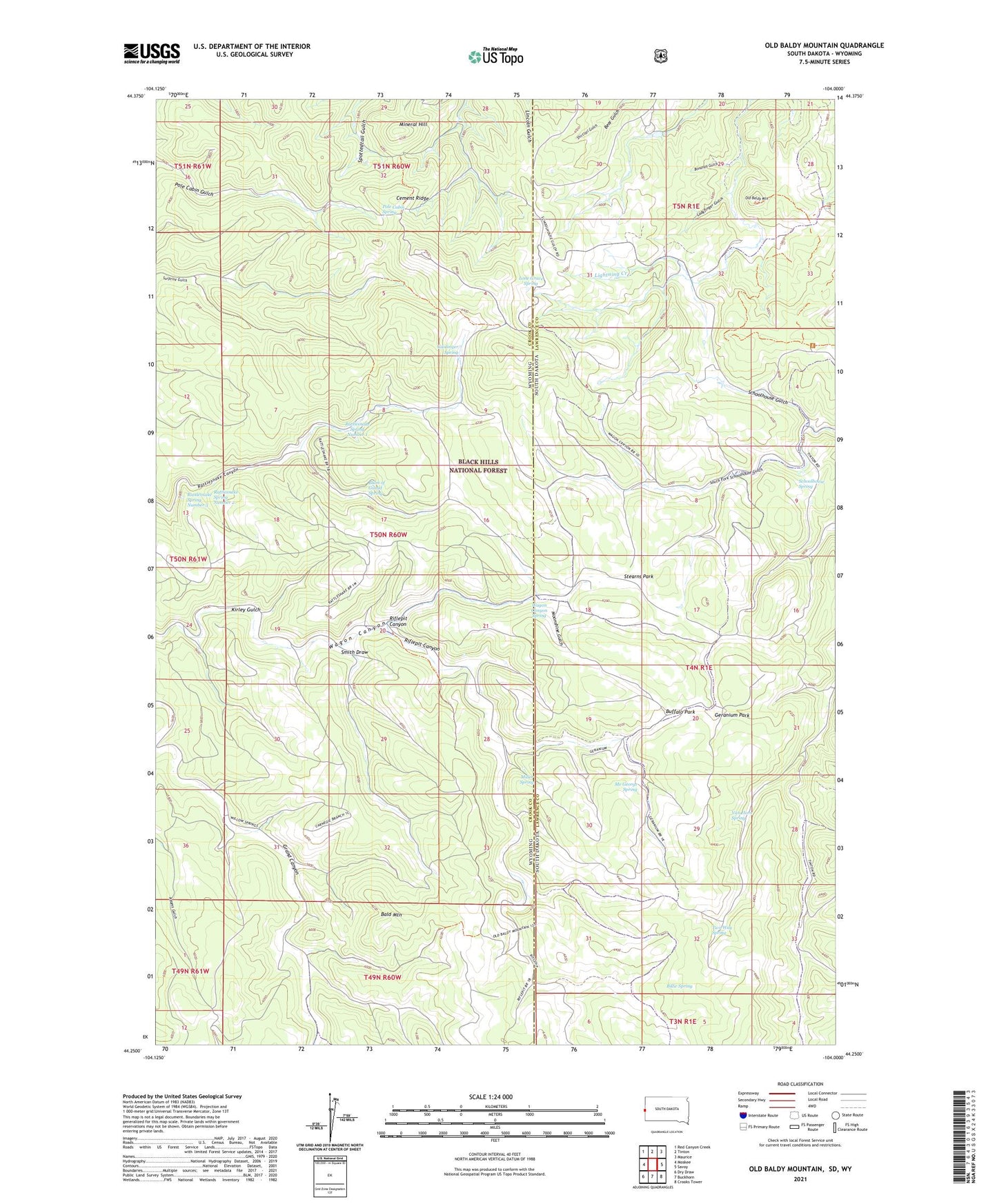
2021 topographic map quadrangle Old Baldy Mountain in the states of Wyoming, South Dakota. Scale: 1:24000. Based on the newly updated USGS 7.5' US Topo map series, this map is in the following counties: Lawrence, Crook. The map contains contour data, water features, and other items you are used to seeing on USGS maps, but also has updated roads and other features. This is the next generation of topographic maps. Printed on high-quality waterproof paper with UV fade-resistant inks.
Quads adjacent to this one:
West: Moskee
Northwest: Red Canyon Creek
North: Tinton
Northeast: Maurice
East: Savoy
Southeast: Crooks Tower
South: Buckhorn
Southwest: Dry Draw
Contains the following named places: Bald Mountain, Balm of Gilead Spring, Billie Spring, Bonanza Gulch, Buffalo Park, Cement Ridge, Filmore Mine, Geranium Park, Giant-Volney Mine, Guidinger Spring, Keenan Properties Mine, Kirley Gulch, Ladyfinger Gulch, Lap Circle Ranch, Lightning Creek, Lone Grave Spring, Mathews Ranch, Me George Spring, Middle Beaver Creek, Miller Spring, Mineral Hill, Moonshine Gulch, North Beaver Creek, Old Baldy Mountain, Pettigrew Trail, Pole Cabin Spring, Rattlesnake Spring Number 1, Rattlesnake Spring Number 2, Rattlesnake Spring Number 3, Riflepit Canyon, Rough and Ready Mine, Sager Ranch, Sand Creek Mine, Schoolhouse Gulch, Schoolhouse Spring, Seeley Ranch, Shirttail Gulch, Smith Draw, South Beaver Creek, South Fork Schoolhouse Gulch, Spearfish and Centaur Mine, Stearns Park, Two Way Spring, Van Horn Spring, Wagon Canyon Spring, Welcome


