MyTopo
Sourdough Flats South Dakota US Topo Map
Couldn't load pickup availability
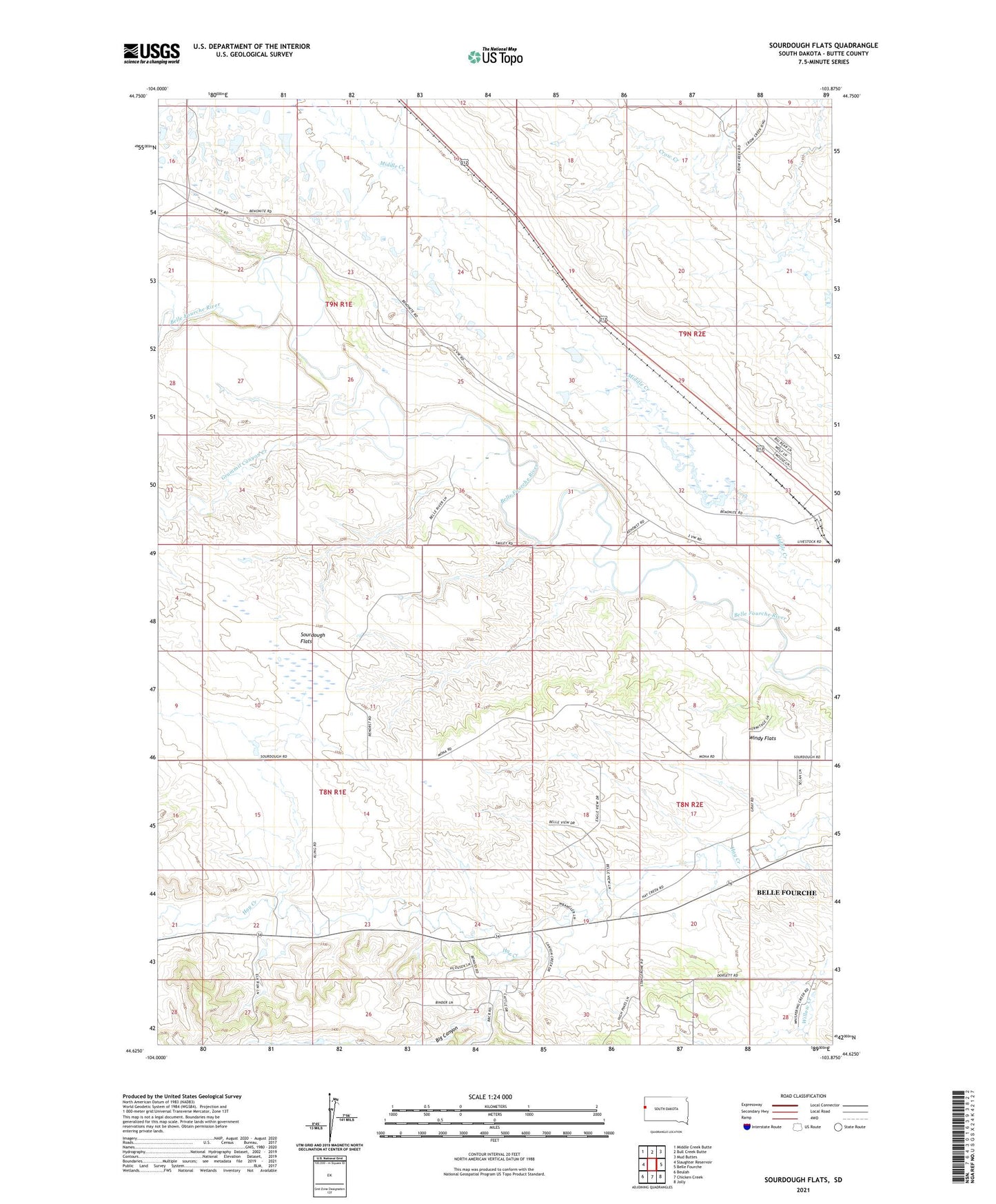
2021 topographic map quadrangle Sourdough Flats in the state of South Dakota. Scale: 1:24000. Based on the newly updated USGS 7.5' US Topo map series, this map is in the following counties: Butte. The map contains contour data, water features, and other items you are used to seeing on USGS maps, but also has updated roads and other features. This is the next generation of topographic maps. Printed on high-quality waterproof paper with UV fade-resistant inks.
Quads adjacent to this one:
West: Slaughter Reservoir
Northwest: Middle Creek Butte
North: Bull Creek Butte
Northeast: Mud Buttes
East: Belle Fourche
Southeast: Jolly
South: Chicken Creek
Southwest: Beulah
This map covers the same area as the classic USGS quad with code o44103f8.
Contains the following named places: Big Canyon, Middle Creek School, Sourdough Flats, Windy Flats