MyTopo
Bethesda Tennessee US Topo Map
Couldn't load pickup availability
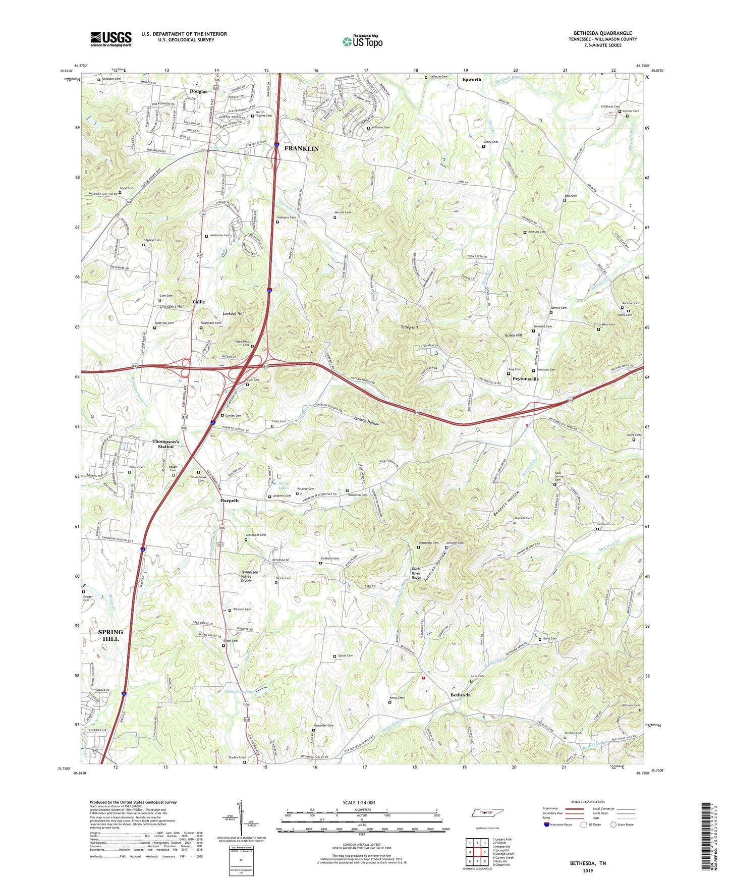
2022 topographic map quadrangle Bethesda in the state of Tennessee. Scale: 1:24000. Based on the newly updated USGS 7.5' US Topo map series, this map is in the following counties: Williamson. The map contains contour data, water features, and other items you are used to seeing on USGS maps, but also has updated roads and other features. This is the next generation of topographic maps. Printed on high-quality waterproof paper with UV fade-resistant inks.
Quads adjacent to this one:
West: Spring Hill
Northwest: Leipers Fork
North: Franklin
Northeast: Nolensville
East: College Grove
Southeast: Chapel Hill
South: Rally Hill
Southwest: Carters Creek
This map covers the same area as the classic USGS quad with code o35086g7.
Contains the following named places: Alexander Branch, Alexander Cemetery, Anderson Cemetery, Andrews Cemetery, Barnett School, Baugh Cemetery, Beal Cemetery, Bennett Cemetery, Bennett Hollow, Bethesda, Bethesda Church, Bethesda Division, Bethesda Elementary School, Bethesda United Methodist Church, Bishop Branch, Bond Cemetery, Bond Creek, Brookhill Farms, Buford Cemetery, Callie, Cedar Hill School, Chambers Hill, Childress Cemetery, Christman Cemetery, Commissioner District 12, Commissioner District 2, Cool Spring Church, Cool Springs Cemetery, Core Cemetery, Cowles Cemetery, Cowles Chapel, Crafton Cemetery, Cross Keys, Douglas, Douglas Church, Douglas School, Duplex Cemetery, Edgmon Branch, Edgmon Cemetery, Ellington Park, Elliot Cemetery, Epworth, Epworth Church, Evans Cemetery, Fred J Page High School, Gentry Cemetery, Gillespie Cemetery, Gooch School, Goose Creek, Goose Creek School, Gosey Cemetery, Gosey Hill, Green Valley Estates, Haleacre Cemetery, Halfacre Branch, Halfacre Cemetery, Hardeman Cemetery, Harpeth, Harpeth School, Harpeth Valley Chapel, Hartley Cemetery, Heatherwood Hills, Holland Cemetery, Holt Cemetery, Hood Cemetery, Hood-Holt Cemetery, Hunter Cemetery, Irvin Cemetery, Jackson Hollow, Johnson Cemetery, Johnson Hollow, Jones Cemetery, Kennedy Creek, King Cemetery, Knott Cemetery, Ladd Branch, Little Texas, Lookout Hill, Lookout Hill Branch, Martin-Hughes Branch, Martin-Hughes Cemetery, Meek Cemetery, Merritt Cemetery, Millview Community Center, Mount Carmel Church, Mount Carmel School, New Hope Church, Peytonsville, Pointer Cemetery, Poteete Cemetery, Pratt Creek, Riverbend Nurseries, Shuemate Branch, Shuemate Cemetery, Simmons Cemetery, Smithson Cemetery, Springview, Sprott Cemetery, Steele Cemetery, Stone Lakes, Talley Hill, Thomas Church, Thompson Cemetery, Thompson Lake, Thompson Lake Dam, West Fork Aenon Creek, Westwood School, Williams Cemetery, Williamson Fire - Rescue Department Station 17, Williamson Fire - Rescue Department Station 28


