MyTopo
Nolensville Tennessee US Topo Map
Couldn't load pickup availability
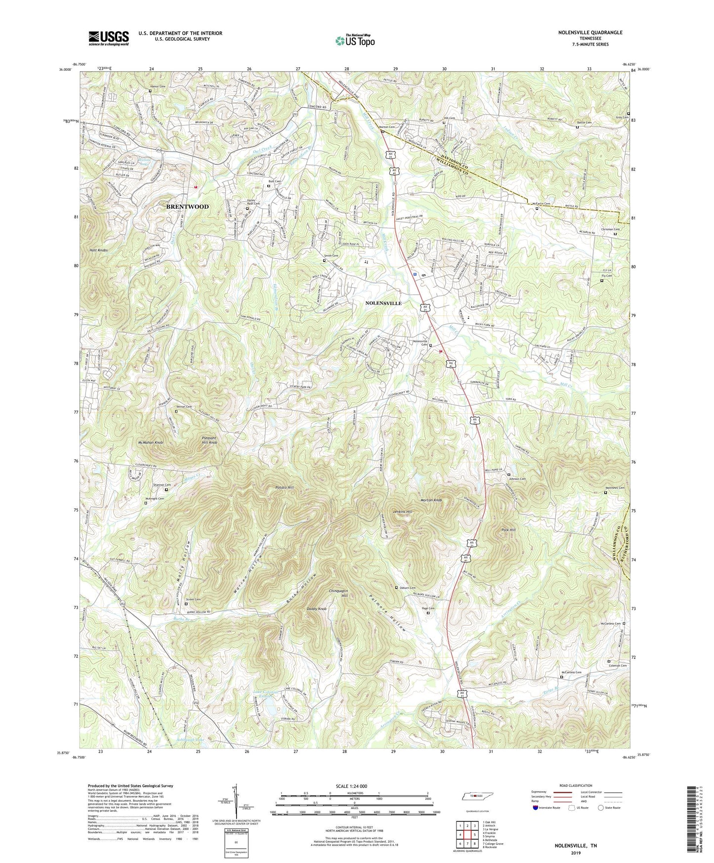
2022 topographic map quadrangle Nolensville in the state of Tennessee. Scale: 1:24000. Based on the newly updated USGS 7.5' US Topo map series, this map is in the following counties: Williamson, Davidson, Rutherford. The map contains contour data, water features, and other items you are used to seeing on USGS maps, but also has updated roads and other features. This is the next generation of topographic maps. Printed on high-quality waterproof paper with UV fade-resistant inks.
Quads adjacent to this one:
West: Franklin
Northwest: Oak Hill
North: Antioch
Northeast: La Vergne
East: Smyrna
Southeast: Rockvale
South: College Grove
Southwest: Bethesda
This map covers the same area as the classic USGS quad with code o35086h6.
Contains the following named places: Arrington Church, Ashbaugh Lake, Battle Cemetery, Brentwood Fire Department Station 4, Burke Hollow, Butt Cemetery, Canaan Farms, Chinquapin Hill, Chrisman Cemetery, Coleman Cemetery, Commissioner District 5, Concord Church, Concord Forest, Daddy Knob, Edmondson Branch, Fly Cemetery, Gray Cemetery, Green Grove Church, Hailey - Rash Cemetery, Hamor Cemetery, Hickory Hills, Hill Cemetery, Holt Chapel, Holt Knobs, Holt Mine, Hooker Hills, Hopewell Church, Jenkins Hill, Johnson Cemetery, Lake Colonial Estates, Lake Colonial Estates Dam, Liberty Church, Matthews Cemetery, McCanless Cemetery, McFarlin Cemetery, McKnight Cemetery, McMahan Knob, Molly Hollow, Morton Cemetery, Morton Knob, Nolensville, Nolensville Cemetery, Nolensville Church, Nolensville Division, Nolensville Elementary School, Nolensville Police Department, Nolensville Post Office, Nolensville Volunteer Fire Department, Owl Creek, Ozburn Cemetery, Page Cemetery, Paige Branch, Palmore Hollow, Pleasant Hill Knob, Pleasant Hill Plantation, Polk Hill, Potato Hill, Redmon Quarry, Shannon Cemetery, Smith Cemetery, Stonebrook, Street Cemetery, Sunset Acres, Town of Nolensville, Trinity Elementary School, Vernon Cemetery, Warren Hollow, Willow Lake, ZIP Codes: 37014, 37135


