MyTopo
Holladay Tennessee US Topo Map
Couldn't load pickup availability
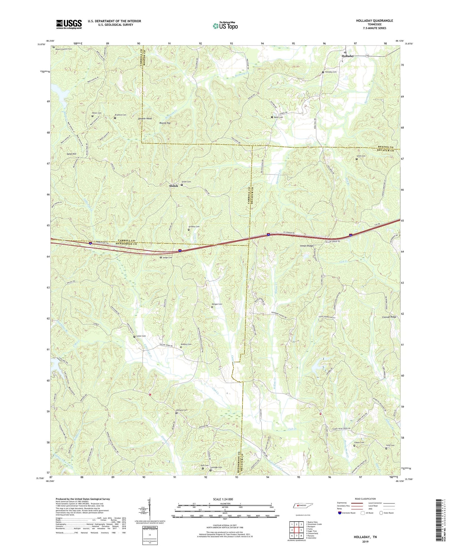
2022 topographic map quadrangle Holladay in the state of Tennessee. Scale: 1:24000. Based on the newly updated USGS 7.5' US Topo map series, this map is in the following counties: Decatur, Henderson, Carroll, Benton. The map contains contour data, water features, and other items you are used to seeing on USGS maps, but also has updated roads and other features. This is the next generation of topographic maps. Printed on high-quality waterproof paper with UV fade-resistant inks.
Quads adjacent to this one:
West: Yuma
Northwest: Buena Vista
North: Seventeen Creek
Northeast: Rockport
East: Sugar Tree
Southeast: Jeannette
South: Parsons
Southwest: Chesterfield
This map covers the same area as the classic USGS quad with code o35088g2.
Contains the following named places: Baber Cemetery, Beasley Cemetery, Bradford Cemetery, Bradford School, Brinkley Cemetery, Cane Creek, Catfish Haven Dam Number One, Catfish Haven Reservoir, Christian Chapel, Christian Chapel School, Colwick, Commissioner District 9, County Corner, Cub Creek Dam, Double Head, Dutchman Branch, Fairview School, Franks Chapel, Gibson Cemetery, Gulledge Cemetery, Hedge Cemetery, Henderson County Fire Department Station 8, Henson Creek, Holladay, Holladay Cemetery, Holladay Census Designated Place, Holladay Church, Holladay Elementary School, Holladay Post Office, Hydro, Hydro School, Hydro Volunteer Fire Department Station 5, Inman Ridge, Lester Cemetery, Little Cub Creek, Maple Creek Lake, Maple Creek Lookout Tower, Mill Branch, Morgan Cemetery, Mount Comfort Cemetery, New Pleasant Ridge Church, New Prospect Missionary Baptist Church, North Fork Cub Creek, Park Cemetery, Pecan Tree Picnic and Camp Ground, Poplar Springs, Poplar Springs School, Ritter Cemetery, Rocky Hill School, Round Top, Sand Hill, Shiloh, Shiloh Baptist Church, Shiloh Cemetery, Smith Cemetery, South Fork Cub Creek, Stills Cemetery, Sulphur Creek, Tolleys Store, Unity School, West Fork Birdsong Creek, Williams Cemetery, Willow Creek


