MyTopo
Sugar Tree Tennessee US Topo Map
Couldn't load pickup availability
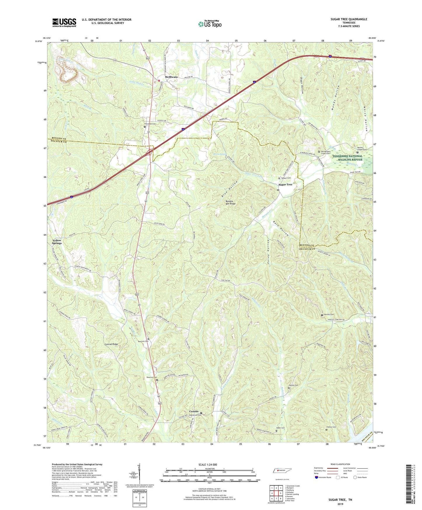
2022 topographic map quadrangle Sugar Tree in the state of Tennessee. Scale: 1:24000. Based on the newly updated USGS 7.5' US Topo map series, this map is in the following counties: Decatur, Benton, Perry. The map contains contour data, water features, and other items you are used to seeing on USGS maps, but also has updated roads and other features. This is the next generation of topographic maps. Printed on high-quality waterproof paper with UV fade-resistant inks.
Quads adjacent to this one:
West: Holladay
Northwest: Seventeen Creek
North: Rockport
Northeast: Hustburg
East: Daniels Landing
Southeast: Pine View
South: Jeannette
Southwest: Parsons
This map covers the same area as the classic USGS quad with code o35088g1.
Contains the following named places: Akins Chapel, Atkins Chapel School, Baker Cemetery, Barn Hollow, Baugus Hollow, Bawcum Cemetery, Becks Branch, Bliss, Blue Hollow, Bumble Bee Ridge, Cantrell Chapel, Cheney Cemetery, Conrad Ridge, Cozette, Diggs Hollow, Dry Branch, Etna, Flatwood School, Flatwoods Baptist Church, Flawoods Cemetery, Hartley Cemetery, Haynes Cemetery, Holladay - McIllwain Volunteer Fire Department, Little Lick Creek, Little Wolf Creek, Malins Store, Manley Chapel, Manley Chapel Cemetery, Manley Chapel School, McIllwain, McIllwain Methodist Church, McIllwain School, Mills Branch, Moore Chapel School, Moores Chapel Methodist Church, Morris Spring, Nickeltown Branch, Northford Post Office, Oak Grove Cemetery, Oak Grove Church, Oakview, Old Morgans Creek Cemetery, Poley Hollow, Riley Branch, Rocky Springs School, Shakerag Branch, Spence Cumberland Presbyterian Church, Spence School, Spences Store, Sugar Tree, Sugar Tree Fork, Sugar Tree Post Office, Sugar Tree School, Suttles Chapel, Suttles School, Tucker Branch, Wesson Cemetery, Wesson Chapel Cumberland Presbyterian Church, Woods Hollow, Yellow Spring Church, Yellow Springs, Yellow Springs School, ZIP Code: 38380


