MyTopo
Hebbronville SE Texas US Topo Map
Couldn't load pickup availability
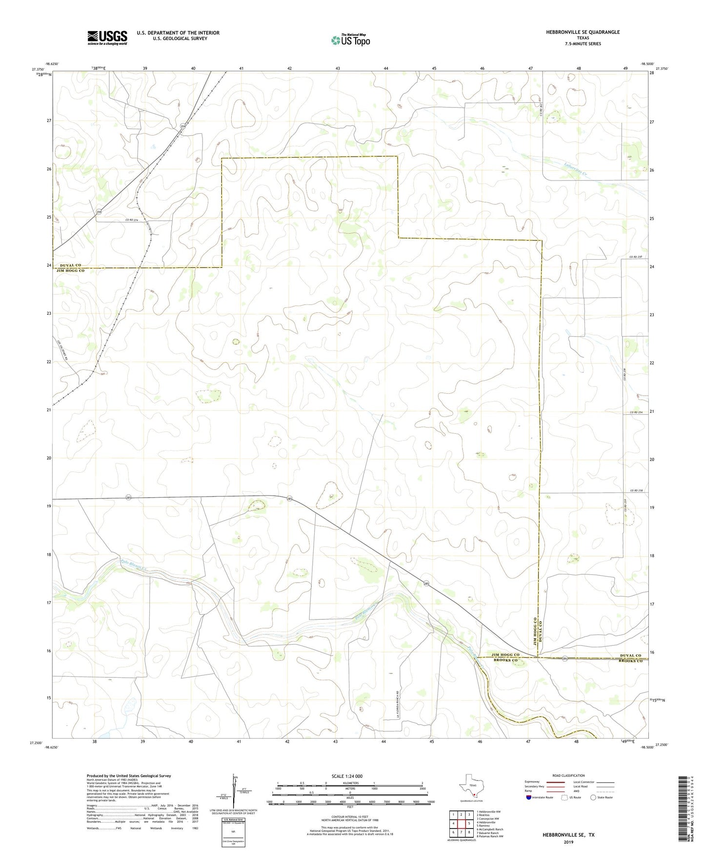
2022 topographic map quadrangle Hebbronville SE in the state of Texas. Scale: 1:24000. Based on the newly updated USGS 7.5' US Topo map series, this map is in the following counties: Jim Hogg, Duval, Brooks. The map contains contour data, water features, and other items you are used to seeing on USGS maps, but also has updated roads and other features. This is the next generation of topographic maps. Printed on high-quality waterproof paper with UV fade-resistant inks.
Quads adjacent to this one:
West: Hebbronville
Northwest: Hebbronville NW
North: Realitos
Northeast: Concepcion NW
East: Ramirez
Southeast: Palomas Ranch NW
South: Baluarte Ranch
Southwest: McCampbell Ranch
This map covers the same area as the classic USGS quad with code o27098c5.
Contains the following named places: Agua Negra Windmill, Balderas Altas Windmill, Balderas Windmill, Creek Windmill, El Nuevo Windmill, Guadalupe Windmill, Gutierrez Alto Windmill, Gutierrez Windmill, La India Windmill, Las Mujeres Windmill, Llano Windmill, Medanito Windmill, Mesquite Creek, Noriacitas Creek, Palacios Windmill, Papalote Nuevo Windmill, Pena Windmill, Pump Jack Windmill, Rancho Viejo Windmill, San Tomas Windmill, Sube Vaja Windmill