MyTopo
Ghost Hill Texas US Topo Map
Couldn't load pickup availability
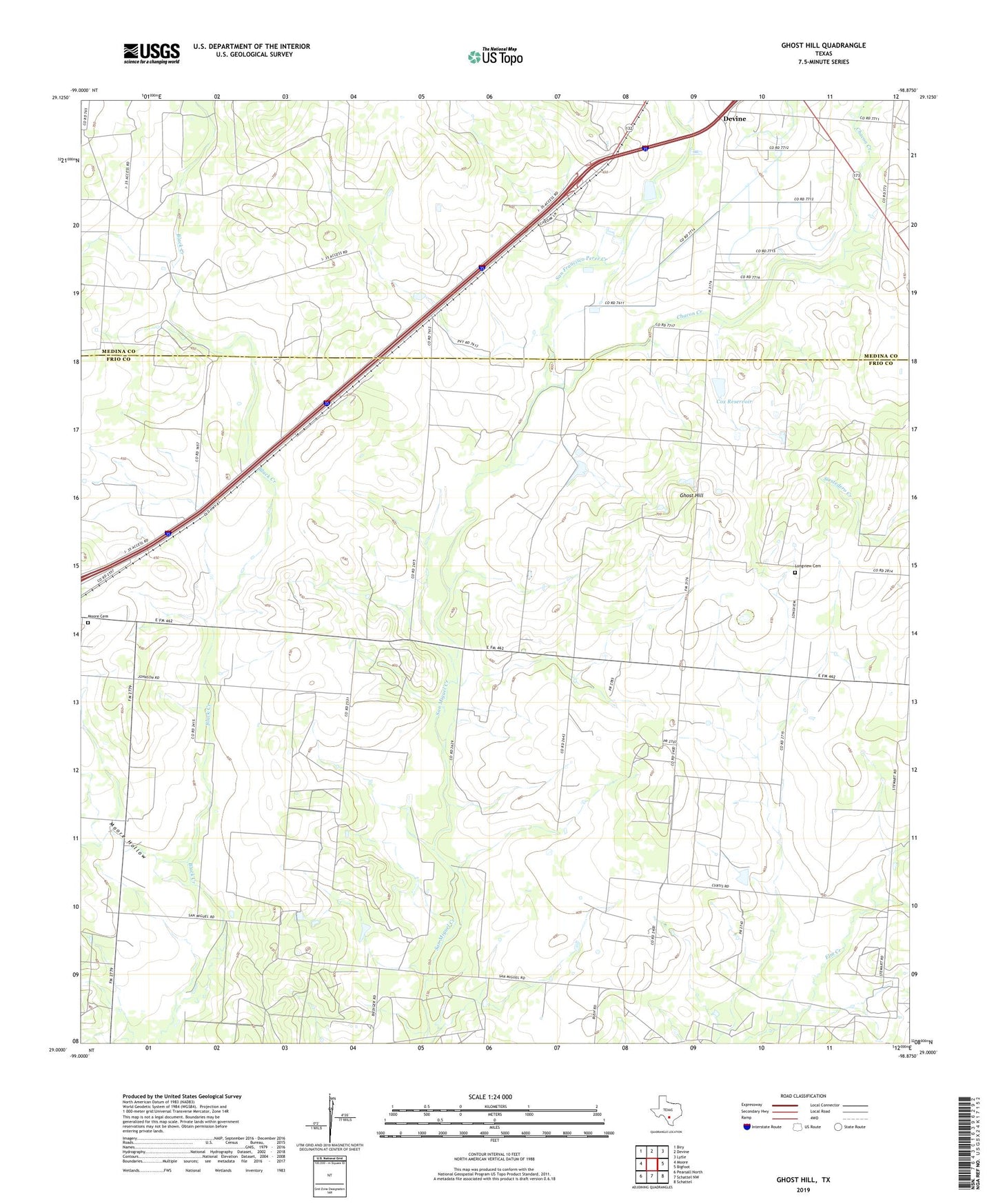
2022 topographic map quadrangle Ghost Hill in the state of Texas. Scale: 1:24000. Based on the newly updated USGS 7.5' US Topo map series, this map is in the following counties: Frio, Medina. The map contains contour data, water features, and other items you are used to seeing on USGS maps, but also has updated roads and other features. This is the next generation of topographic maps. Printed on high-quality waterproof paper with UV fade-resistant inks.
Quads adjacent to this one:
West: Moore
Northwest: Biry
North: Devine
Northeast: Lytle
East: Bigfoot
Southeast: Schattel
South: Schattel NW
Southwest: Pearsall North
This map covers the same area as the classic USGS quad with code o29098a8.
Contains the following named places: Bigfoot Oil Field, Burnt Boot Creek, Chacon Creek, Cox Reservoir, Cox Reservoir Dam, Ghost Hill, Longview Cemetery, Moore Cemetery, Moore Division, Moore Hollow, San Francisco Perez Creek