MyTopo
Cage Ranch Texas US Topo Map
Couldn't load pickup availability
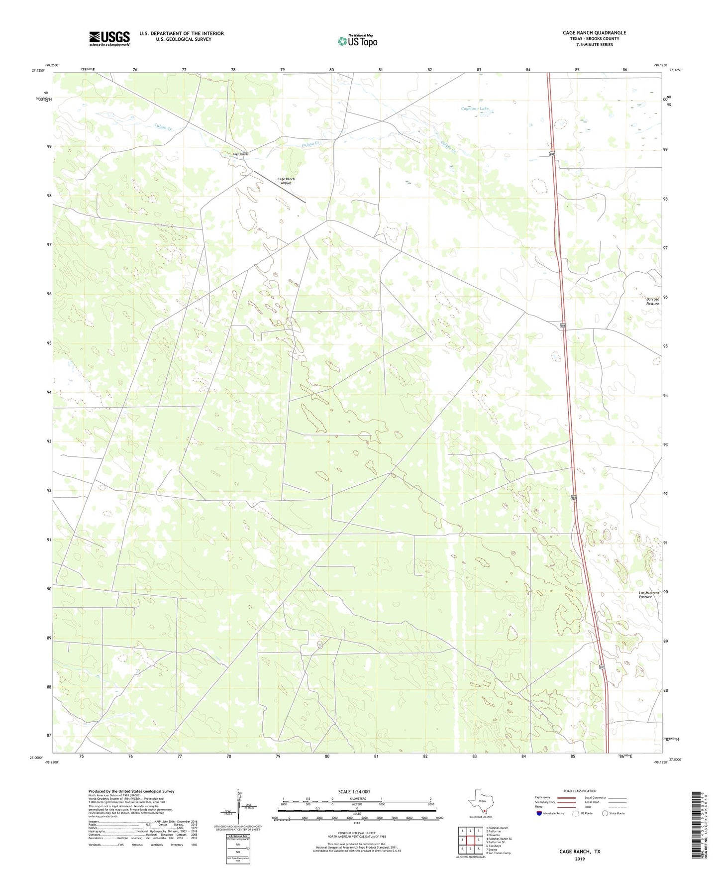
2019 topographic map quadrangle Cage Ranch in the state of Texas. Scale: 1:24000. Based on the newly updated USGS 7.5' US Topo map series, this map is in the following counties: Brooks. The map contains contour data, water features, and other items you are used to seeing on USGS maps, but also has updated roads and other features. This is the next generation of topographic maps. Printed on high-quality waterproof paper with UV fade-resistant inks.
Quads adjacent to this one:
West: Palomas Ranch SE
Northwest: Palomas Ranch
North: Falfurrias
Northeast: Flowella
East: Falfurrias SE
Southeast: San Tomas Camp
South: Encino
Southwest: Tacubaya
Contains the following named places: Barroso Camp, Barroso Pasture, Berenda Well, Brooks County, Buenos Aires Windmill, Cage Gas Field, Cage Ranch, Cage Ranch Airport, Calichosa Well, Calosa Creek, Cayetano Lake, Cuero Windmill, Escondida Windmill, Franks Well, La Luz Well, Mojado Well, Noria Willie, Number Eight Windmill, Number Ten Windmill, O K Windmill, Presnall Windmill, Puerta Colorada Well, San Andres Well, Sancudo Windmill, Tres Encinos Oil Field, Trosada Well, United States Border Patrol Checkpoint, Wagenschein Ranch