MyTopo
Tacubaya Texas US Topo Map
Couldn't load pickup availability
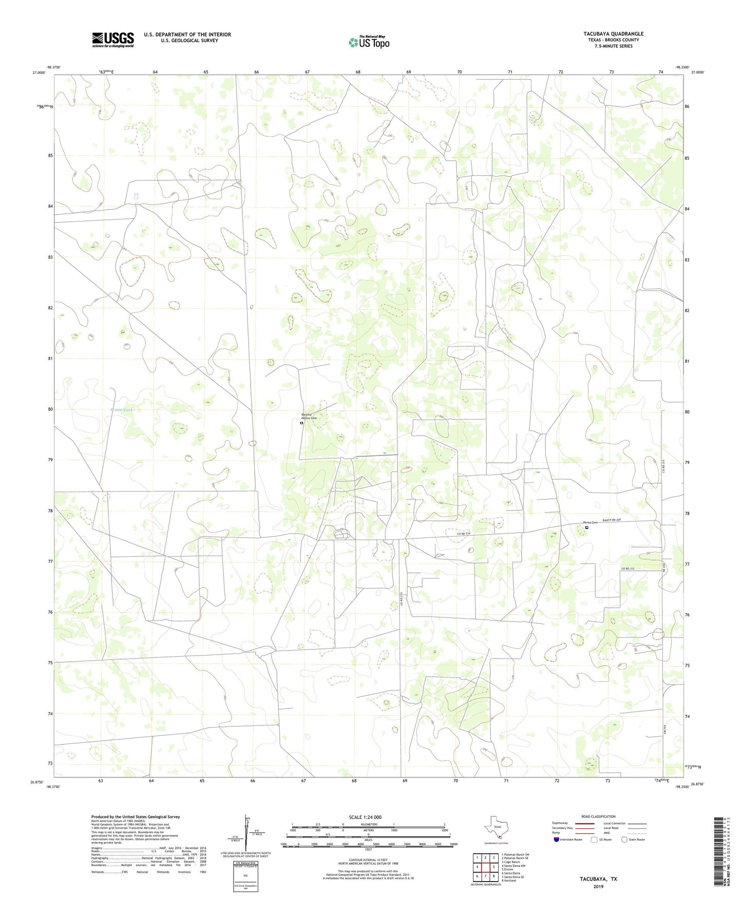
2022 topographic map quadrangle Tacubaya in the state of Texas. Scale: 1:24000. Based on the newly updated USGS 7.5' US Topo map series, this map is in the following counties: Brooks. The map contains contour data, water features, and other items you are used to seeing on USGS maps, but also has updated roads and other features. This is the next generation of topographic maps. Printed on high-quality waterproof paper with UV fade-resistant inks.
Quads adjacent to this one:
West: Santa Elena NW
Northwest: Palomas Ranch SW
North: Palomas Ranch SE
Northeast: Cage Ranch
East: Encino
Southeast: Hartland
South: Santa Elena SE
Southwest: Santa Elena
This map covers the same area as the classic USGS quad with code o26098h3.
Contains the following named places: Alta Mesa Camp, Alta Mesa Oil Field, Alto Colorado Ranch, Catravo Windmill, El Alto Windmill, El Norte Windmill, El Querido Windmill, El Rancho Windmill, El Yano Windmill, Esmeralda Well, Francisco Perez Cemetery, Gonzalena Windmill, La Calichera Windmill, La Cochera Windmill, Leon Cito Windmill, Los Guicaches Windmill, Mala Suerte Windmill, Novia Windmill, Petal Windmill, Prieta Tank, Rancho Nuevo Cemetery, Rancho Nuevo Windmill, Realitos Windmill, San Pedro Well, Scott and Hopper Oil Field, Tacubaya, Tanque Alegre Windmill, Tia Rosa Windmill