MyTopo
Falfurrias SE Texas US Topo Map
Couldn't load pickup availability
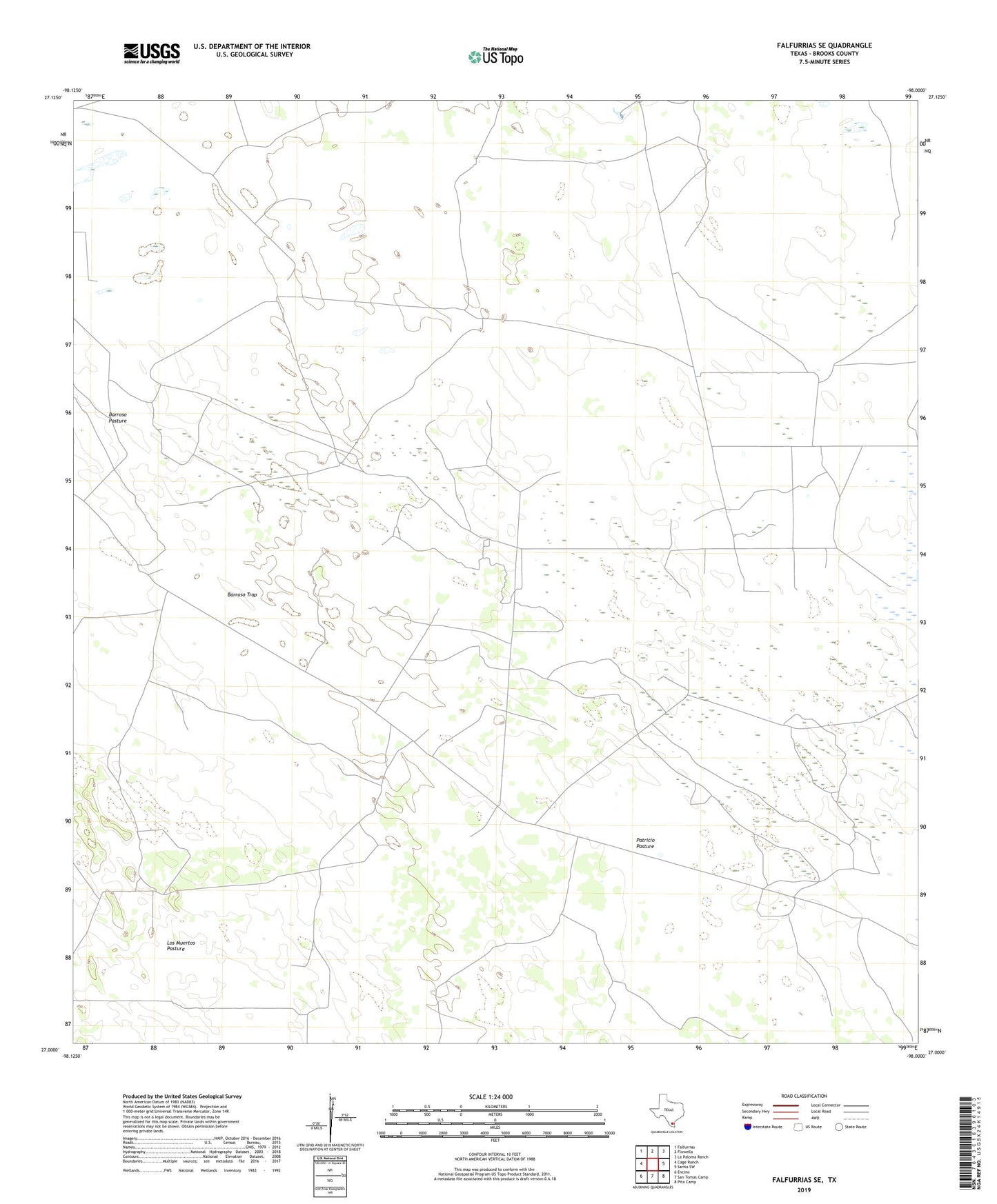
2022 topographic map quadrangle Falfurrias SE in the state of Texas. Scale: 1:24000. Based on the newly updated USGS 7.5' US Topo map series, this map is in the following counties: Brooks. The map contains contour data, water features, and other items you are used to seeing on USGS maps, but also has updated roads and other features. This is the next generation of topographic maps. Printed on high-quality waterproof paper with UV fade-resistant inks.
Quads adjacent to this one:
West: Cage Ranch
Northwest: Falfurrias
North: Flowella
Northeast: La Paloma Ranch
East: Sarita SW
Southeast: Pita Camp
South: San Tomas Camp
Southwest: Encino
This map covers the same area as the classic USGS quad with code o27098a1.
Contains the following named places: Barroso Trap, Cados Negros Windmill, Camp Vista Windmill, Caramayola Windmill, Crudo Windmill, El Azul Windmill, El Toro Windmill, Humble Windmill, Jimmy Windmill, La Becerra Windmill, La Mula Windmill, La Pela Windmill, La Sulfurosa Windmill, Las Avispas Windmill, Las Hormigas Windmill, Las Liebras Windmill, Los Muertos Pasture, Los Muertos Windmill, Medio Windmill, Mota Bonita Windmill, Number Nine Windmill, Number One Windmill, Old Barrosa Windmill, Papalote del Norte, Patricio Pasture, Petroteros Windmill, Pita Oil Field, Pita Pens, Pita West Oil Field, San Juan Windmill, Sorillo Windmill