MyTopo
Gardendale NW Texas US Topo Map
Couldn't load pickup availability
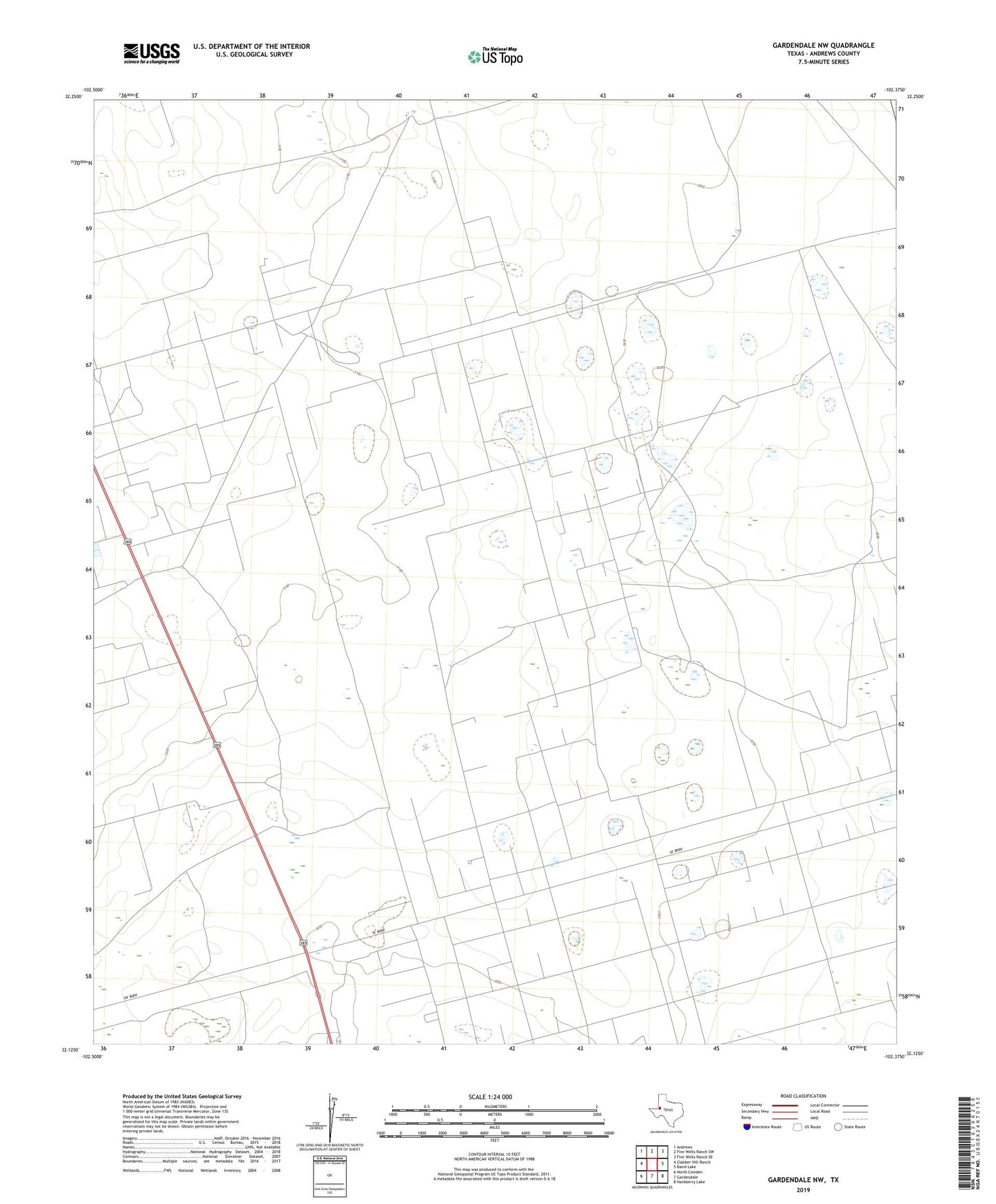
2022 topographic map quadrangle Gardendale NW in the state of Texas. Scale: 1:24000. Based on the newly updated USGS 7.5' US Topo map series, this map is in the following counties: Andrews. The map contains contour data, water features, and other items you are used to seeing on USGS maps, but also has updated roads and other features. This is the next generation of topographic maps. Printed on high-quality waterproof paper with UV fade-resistant inks.
Quads adjacent to this one:
West: Clabber Hill Ranch
Northwest: Andrews
North: Five Wells Ranch SW
Northeast: Five Wells Ranch SE
East: Baird Lake
Southeast: Hackberry Lake
South: Gardendale
Southwest: North Cowden
This map covers the same area as the classic USGS quad with code o32102b4.
Contains the following named places: Andrews South Division, Double Windmill, Hob Windmill, Holt Trap Windmill, Lower Windmill, Midland Farms North Oil Field, Midland Farms Oil Field, New Windmill, Steel Tower Windmill, Windmill Number Eightyone, Windmill Number Fiftyseven, Windmill Number Fiftysix, Windmill Number One, Windmill Number Seventynine, Windmill Number Sixtynine, Windmill Number Thirtyone, Windmill Number Three, Windmill Number Twelve, Windmill Number Twentyone