MyTopo
Cuthand Texas US Topo Map
Couldn't load pickup availability
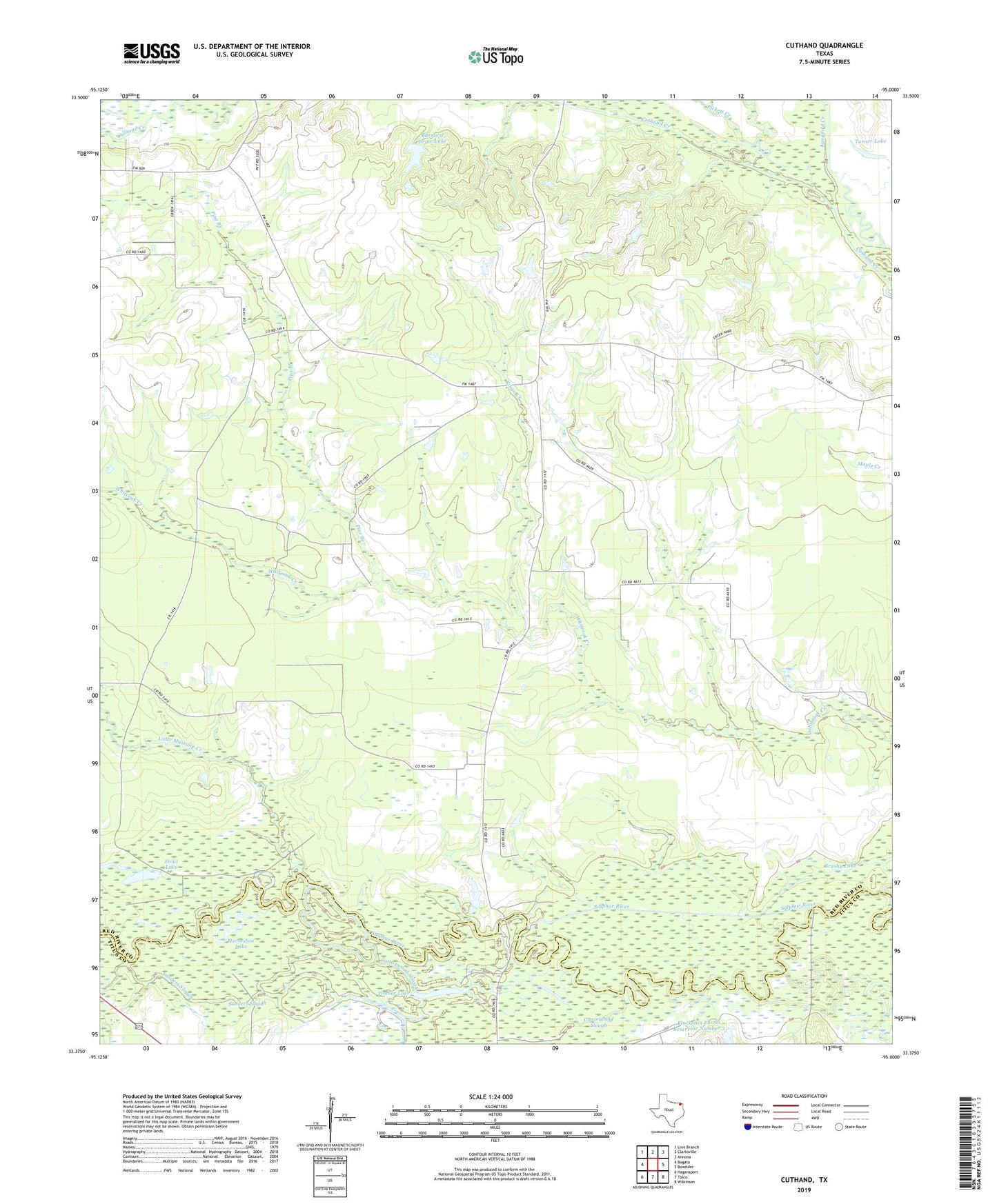
2022 topographic map quadrangle Cuthand in the state of Texas. Scale: 1:24000. Based on the newly updated USGS 7.5' US Topo map series, this map is in the following counties: Red River, Titus. The map contains contour data, water features, and other items you are used to seeing on USGS maps, but also has updated roads and other features. This is the next generation of topographic maps. Printed on high-quality waterproof paper with UV fade-resistant inks.
Quads adjacent to this one:
West: Bogata
Northwest: Line Branch
North: Clarksville
Northeast: Annona
East: Boxelder
Southeast: Wilkinson
South: Talco
Southwest: Hagansport
This map covers the same area as the classic USGS quad with code o33095d1.
Contains the following named places: Barnard Draw Lake, Barnard Lake Dam, Blackmon Farms Reservoir Number 3, Blackmon Farms Reservoir Number 3 Dam, Brushy Lake, Cheetwood Lake, Cottonwood Slough, Cuthand, Elbow Lake, Farmers Lake, Horseshoe Lake, Langford Creek, Little Mustang Creek, McKinzie Church, Pickett Creek, Pine Branch, Ringo Creek, Sanders Slough, Stout Lake, Timber Lake, Turner Lake