MyTopo
Douglass Texas US Topo Map
Couldn't load pickup availability
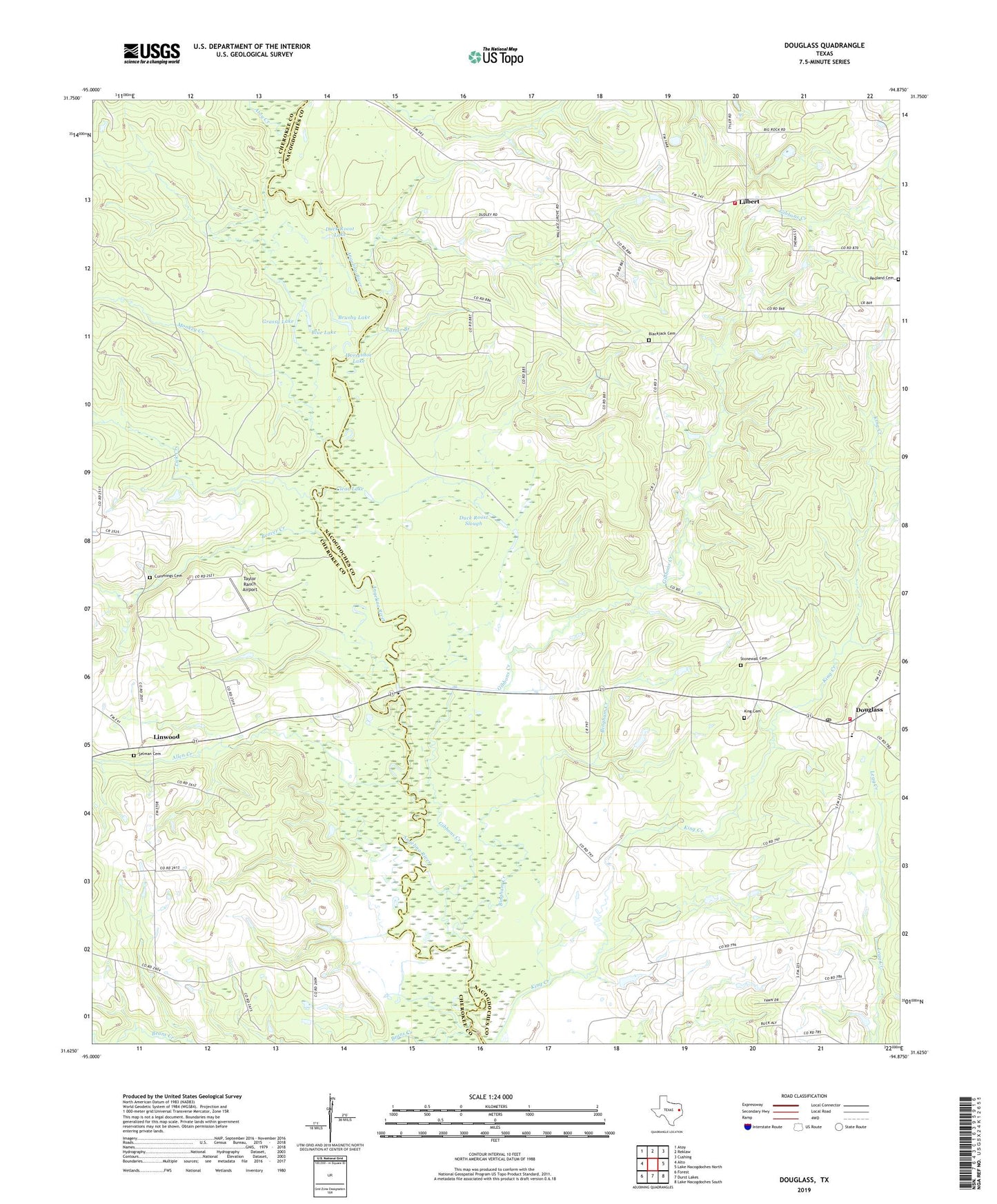
2022 topographic map quadrangle Douglass in the state of Texas. Scale: 1:24000. Based on the newly updated USGS 7.5' US Topo map series, this map is in the following counties: Nacogdoches, Cherokee. The map contains contour data, water features, and other items you are used to seeing on USGS maps, but also has updated roads and other features. This is the next generation of topographic maps. Printed on high-quality waterproof paper with UV fade-resistant inks.
Quads adjacent to this one:
West: Alto
Northwest: Atoy
North: Reklaw
Northeast: Cushing
East: Lake Nacogdoches North
Southeast: Lake Nacogdoches South
South: Durst Lakes
Southwest: Forest
Contains the following named places: Allen Creek, Atoy Creek, Baxter Branch, Beaver Creek, Bingham Creek, Blackjack Cemetery, Blue Lake, Brushy Lake, Clear Lake, County Line, Douglass, Douglass Post Office, Douglass Volunteer Fire Department, Duck Roost Lake, Duck Roost Slough, Evans Cemetery, Gibbons Creek, Grange Hall School, Grassy Lake, Horseshoe Lake, King Cemetery, La Marque Public Library, Lick Creek, Lilbert, Lilbert - Looneyville Volunteer Fire Department, Linwood, Monkey Creek, Moore Memorial Public Library, Pine Log Lake, Redland Cemetery, Selman Cemetery, Stillhouse Creek, Stonewall Cemetery, Stonewall Church, Taylor Ranch Airport, ZIP Code: 75943