MyTopo
Lake Nacogdoches North Texas US Topo Map
Couldn't load pickup availability
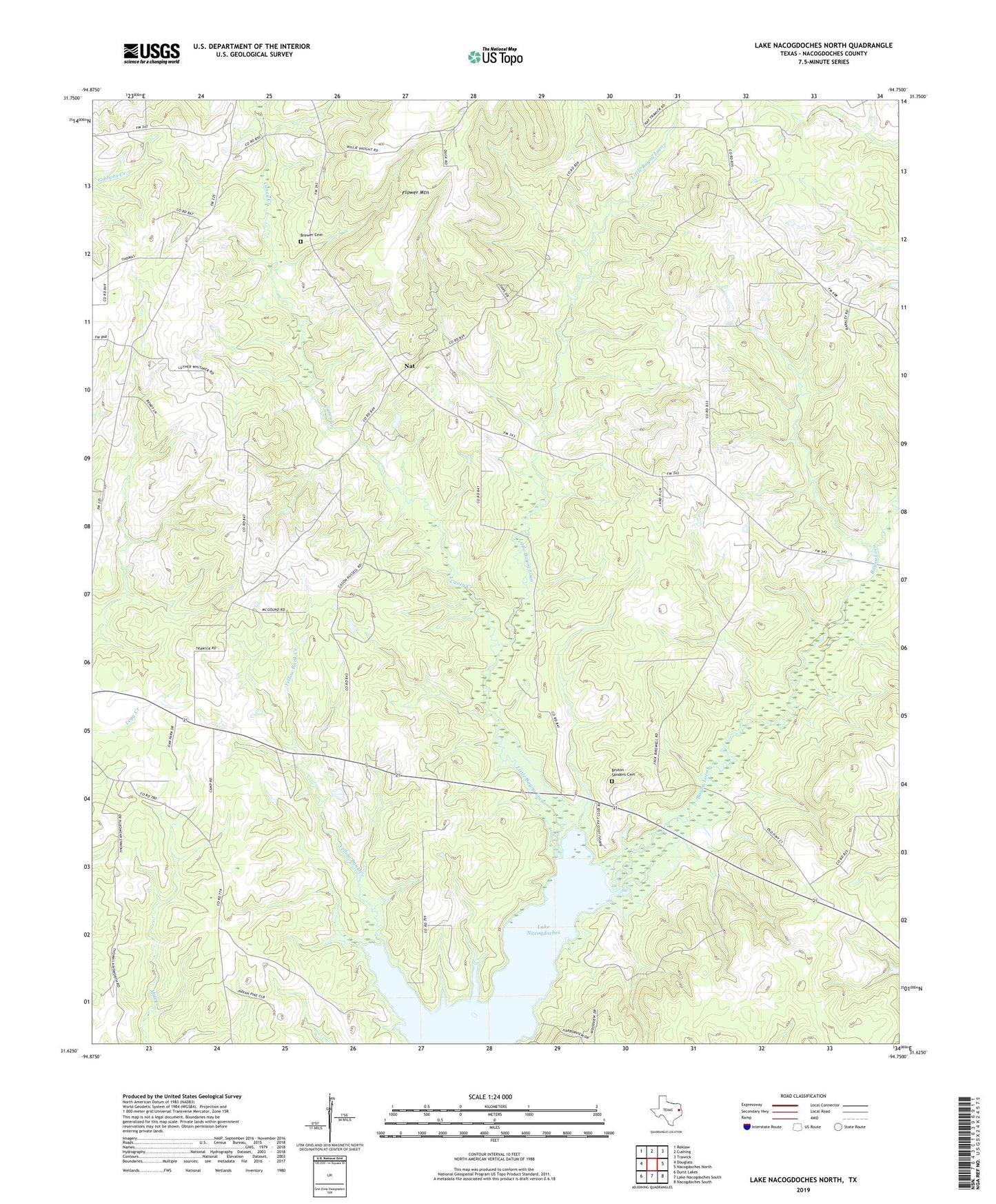
2022 topographic map quadrangle Lake Nacogdoches North in the state of Texas. Scale: 1:24000. Based on the newly updated USGS 7.5' US Topo map series, this map is in the following counties: Nacogdoches. The map contains contour data, water features, and other items you are used to seeing on USGS maps, but also has updated roads and other features. This is the next generation of topographic maps. Printed on high-quality waterproof paper with UV fade-resistant inks.
Quads adjacent to this one:
West: Douglass
Northwest: Reklaw
North: Cushing
Northeast: Trawick
East: Nacogdoches North
Southeast: Nacogdoches South
South: Lake Nacogdoches South
Southwest: Durst Lakes
This map covers the same area as the classic USGS quad with code o31094f7.
Contains the following named places: Brewer Cemetery, Bruton - Sanders Cemetery, Caney Creek, Chapel B, Cushing-Douglass Division, Grayland Church Number 1, Haney Chapel, Isaiah Church, Little Bayou Loco, Looney Family Cemetery, Nat, Red Flat Church, Salem Church, Scott Temple, Winter Hill, Winter Hill School