MyTopo
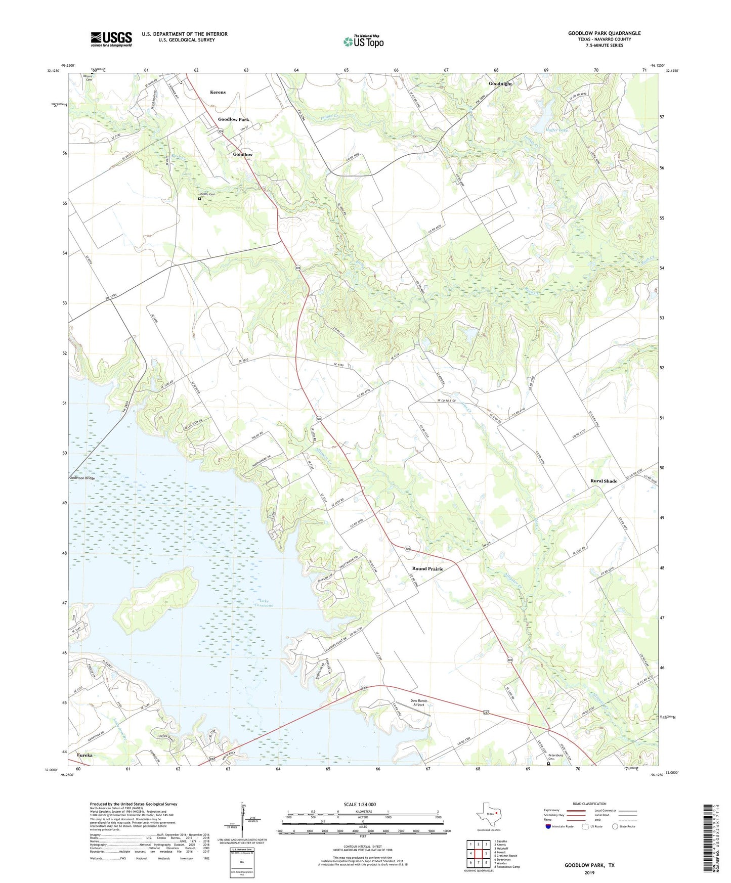
Goodlow Park Texas US Topo Map
Couldn't load pickup availability
2022 topographic map quadrangle Goodlow Park in the state of Texas. Scale: 1:24000. Based on the newly updated USGS 7.5' US Topo map series, this map is in the following counties: Navarro. The map contains contour data, water features, and other items you are used to seeing on USGS maps, but also has updated roads and other features. This is the next generation of topographic maps. Printed on high-quality waterproof paper with UV fade-resistant inks.
Quads adjacent to this one:
West: Powell
Northwest: Bazette
North: Kerens
Northeast: Malakoff
East: Creslenn Ranch
Southeast: Roustabout Camp
South: Winkler
Southwest: Streetman
This map covers the same area as the classic USGS quad with code o32096a2.
Contains the following named places: Alligator Church, Cedar Creek, Cemetery Creek, City of Goodlow, Cow Creek, Dow Ranch Airport, Gas Creek, Goodlow Park, Goodnight, Hoffer Lake, Hoffer Lake Dam, Indian Creek, Kerens Division, Owens Family Cemetery, Petersburg Cemetery, Roscoe McConnico Airport, Round House, Round Prairie, Rural Shade, Rush Creek Ranch, ZIP Code: 75144