MyTopo
Graford West Texas US Topo Map
Couldn't load pickup availability
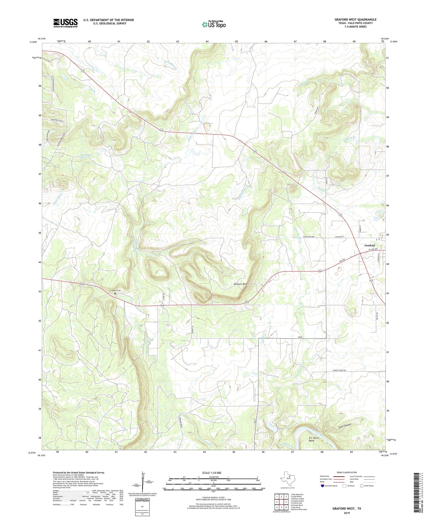
2022 topographic map quadrangle Graford West in the state of Texas. Scale: 1:24000. Based on the newly updated USGS 7.5' US Topo map series, this map is in the following counties: Palo Pinto. The map contains contour data, water features, and other items you are used to seeing on USGS maps, but also has updated roads and other features. This is the next generation of topographic maps. Printed on high-quality waterproof paper with UV fade-resistant inks.
Quads adjacent to this one:
West: Costello Island
Northwest: Ross Mountain
North: Long Hollow
Northeast: Bartons Chapel
East: Graford East
Southeast: Mineral Wells West
South: Palo Pinto
Southwest: Fortune Bend
This map covers the same area as the classic USGS quad with code o32098h3.
Contains the following named places: Elm Creek, Graford Division, Graford Elementary School, Graford High School, Loyd-Dalton Oil Field, Lu Queen Cemetery, McClure Mountain, Palo Pinto County Constable's Office Precinct 2, Rocky Prairie, Scott Canyon, ZIP Code: 76449