MyTopo
Guy Texas US Topo Map
Couldn't load pickup availability
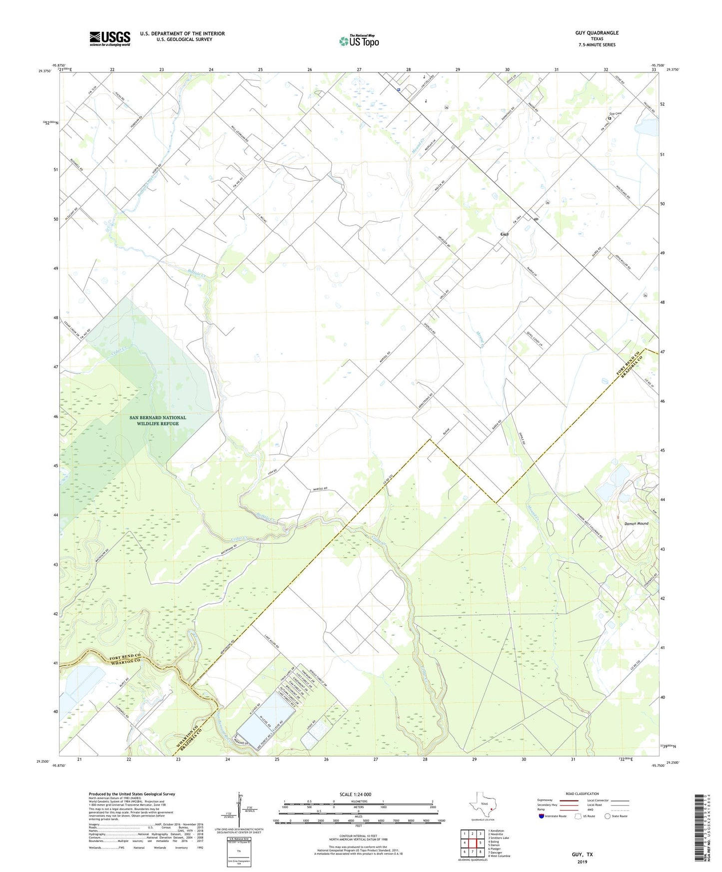
2022 topographic map quadrangle Guy in the state of Texas. Scale: 1:24000. Based on the newly updated USGS 7.5' US Topo map series, this map is in the following counties: Fort Bend, Brazoria, Wharton. The map contains contour data, water features, and other items you are used to seeing on USGS maps, but also has updated roads and other features. This is the next generation of topographic maps. Printed on high-quality waterproof paper with UV fade-resistant inks.
Quads adjacent to this one:
West: Boling
Northwest: Kendleton
North: Needville
Northeast: Smithers Lake
East: Damon
Southeast: West Columbia
South: Danciger
Southwest: Pledger
This map covers the same area as the classic USGS quad with code o29095c7.
Contains the following named places: Baker Reservoir, Baker Reservoir Levee, Buffalo Creek, Damon Mound Oil Field, Guy, Guy Cemetery, Guy Post Office, Mooredale, Needville Division, Needville High School, Needville Independent School District Police Department, Needville Junior High School, Needville Middle School, Needville Oil Field, New Prospect Church, Routt School, ZIP Code: 77444