
MyTopo
Lake Austin Texas US Topo Map
Couldn't load pickup availability
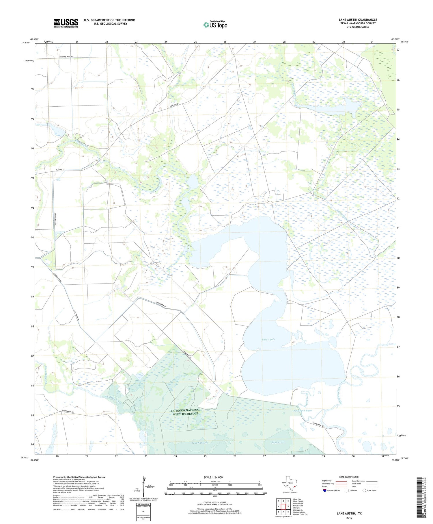
2019 topographic map quadrangle Lake Austin in the state of Texas. Scale: 1:24000. Based on the newly updated USGS 7.5' US Topo map series, this map is in the following counties: Matagorda. The map contains contour data, water features, and other items you are used to seeing on USGS maps, but also has updated roads and other features. This is the next generation of topographic maps. Printed on high-quality waterproof paper with UV fade-resistant inks.
Quads adjacent to this one:
West: Wadsworth
Northwest: Bay City
North: Bay City NE
Northeast: Cedar Lane
East: Sargent
Southeast: Brown Cedar Cut
South: Dressing Point
Southwest: Matagorda
Contains the following named places: Big Boggy National Wildlife Refuge, Chinquapin, Chinquapin Bayou, Lake Austin, Lake Kilbride, Pelton Lake, Peyton Creek, ZIP Code: 77483


