MyTopo
Leesburg Texas US Topo Map
Couldn't load pickup availability
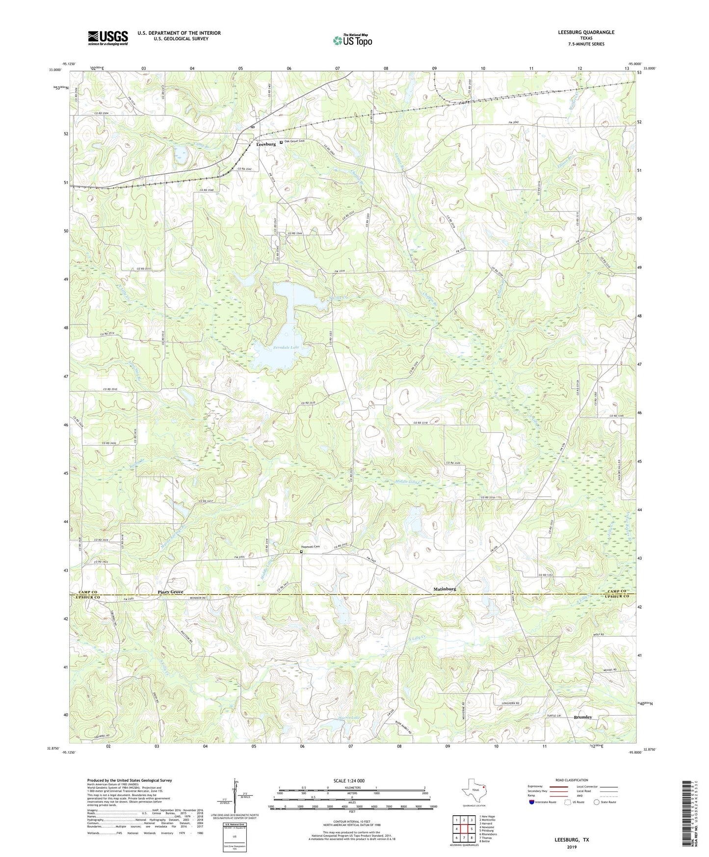
2022 topographic map quadrangle Leesburg in the state of Texas. Scale: 1:24000. Based on the newly updated USGS 7.5' US Topo map series, this map is in the following counties: Camp, Upshur. The map contains contour data, water features, and other items you are used to seeing on USGS maps, but also has updated roads and other features. This is the next generation of topographic maps. Printed on high-quality waterproof paper with UV fade-resistant inks.
Quads adjacent to this one:
West: Newsome
Northwest: New Hope
North: Monticello
Northeast: Harvard
East: Pittsburg
Southeast: Bettie
South: Thomas
Southwest: Rhonesboro
This map covers the same area as the classic USGS quad with code o32095h1.
Contains the following named places: Arthur Reeves Branch, Bailey Branch, Brumley, Centeridge Church, Chaffin Branch, Damascus Church, Ellison Branch, Fairview Church, Faith Temple Church, Ferndale Dam, Ferndale Lake, Ferndale Lake Club, Harris Lake, Harris Lake Dam, Hickory Hill, Hopewell Cemetery, Lamar Branch, Leesburg, Leesburg Post Office, Leesburg-Newsome Division, Living Green Church, Lone Star Branch, Macedonia Church, Matinburg, Middle Lilly Creek, Mount Lebanon Church, Myrtle Springs Branch, Myrtle Springs Church, New Mine Church, New West Chapel, Newsome Oil Field, North Lilly Creek, Oak Grove Cemetery, Oak Grove Church, Piney Grove, Piney Grove Church, Pittsburg Oil Field, Reeves Chapel, South Lilly Creek, Spencer Lake