MyTopo
Bellville Texas US Topo Map
Couldn't load pickup availability
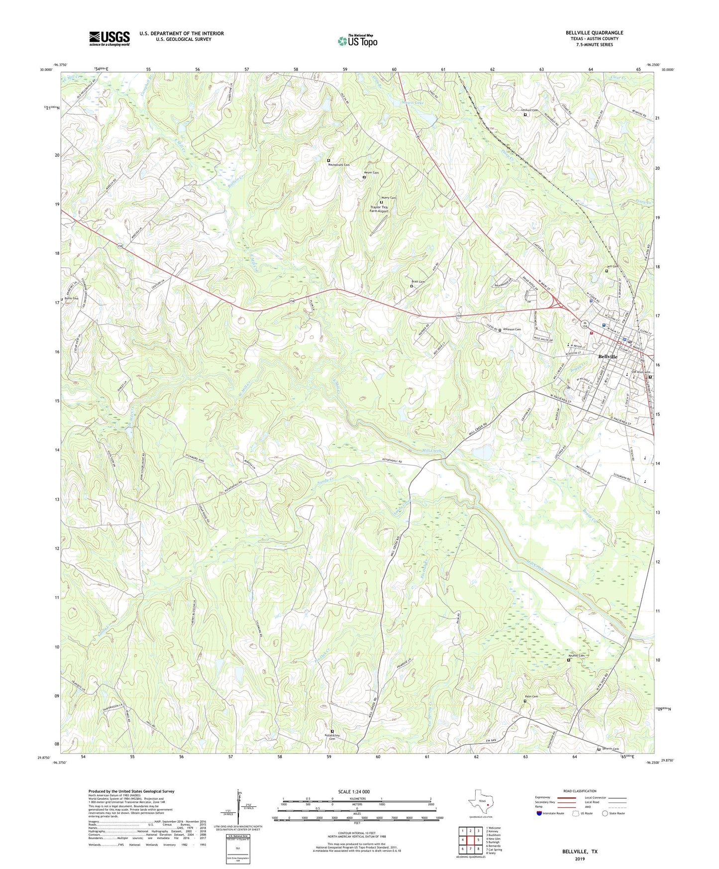
2022 topographic map quadrangle Bellville in the state of Texas. Scale: 1:24000. Based on the newly updated USGS 7.5' US Topo map series, this map is in the following counties: Austin. The map contains contour data, water features, and other items you are used to seeing on USGS maps, but also has updated roads and other features. This is the next generation of topographic maps. Printed on high-quality waterproof paper with UV fade-resistant inks.
Quads adjacent to this one:
West: New Ulm
Northwest: Welcome
North: Kenney
Northeast: Buckhorn
East: Burleigh
Southeast: Sealy
South: Cat Spring
Southwest: Bernardo
This map covers the same area as the classic USGS quad with code o29096h3.
Contains the following named places: Atkinson Cemetery, Austin County, Austin County Constable's Office Precinct 1, Austin County Courthouse, Austin County Emergency Medical Services, Austin County Jail, Bellville, Bellville City Hall, Bellville High School, Bellville Junior High School, Bellville Medical Center, Bellville Police Department, Bellville Post Office, Brast Cemetery, Buffalo Creek, Burns Cemetery, Campbell Branch, Cat Spring Creek, City of Bellville, Dant, East Mill Creek, Jeff Cemetery, KACO-AM (Bellville), Keuffel Cemetery, Kollatschny Cemetery, Long Branch, Machemehl Cemetery, Mawis Lake, Mawis Lake Dam, Mewis Lake, Mewis Lake Dam, Meyer Cemetery, Millheim Gas Field, Muery Cemetery, Nelsonville Gas Field, Oak Knoll Cemetery, O'Bryant Intermediate School, O'Bryant Primary School, Old Masonic Hall, Palm Cemetery, Pin Oak Creek, Sandy Creek, Sevevin Cemetery, Spricer School, Traylor Tick Farm Airport, Ueckert Cemetery Number 2, Ward Branch, West Mill Creek, ZIP Code: 77418