MyTopo
Twin Hollow Texas US Topo Map
Couldn't load pickup availability
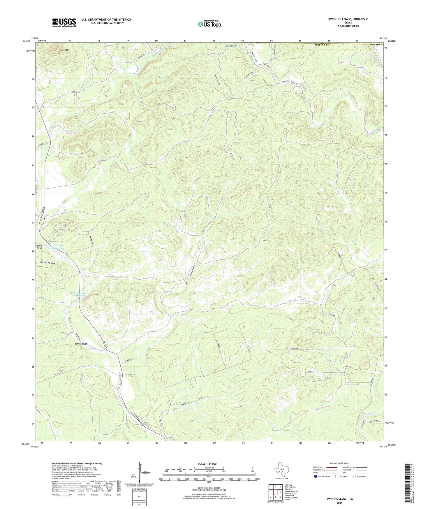
2022 topographic map quadrangle Twin Hollow in the state of Texas. Scale: 1:24000. Based on the newly updated USGS 7.5' US Topo map series, this map is in the following counties: Medina, Bandera. The map contains contour data, water features, and other items you are used to seeing on USGS maps, but also has updated roads and other features. This is the next generation of topographic maps. Printed on high-quality waterproof paper with UV fade-resistant inks.
Quads adjacent to this one:
West: Texas Mountain
Northwest: Tarpley
North: Tarpley Pass
Northeast: Bandera
East: Timber Creek
Southeast: Quihi
South: Mustang Valley
Southwest: Sabinal NE
This map covers the same area as the classic USGS quad with code o29099e2.
Contains the following named places: Barnes Bluff, Barnes Bluff Waterhole, Flag Mountain, Hill Country State Natural Area, Mustang Waterhole, Turkey Hollow, Twin Hollow, Two Pecan Waterhole, Wide Crossing Waterhole