MyTopo
Rosita Lake Texas US Topo Map
Couldn't load pickup availability
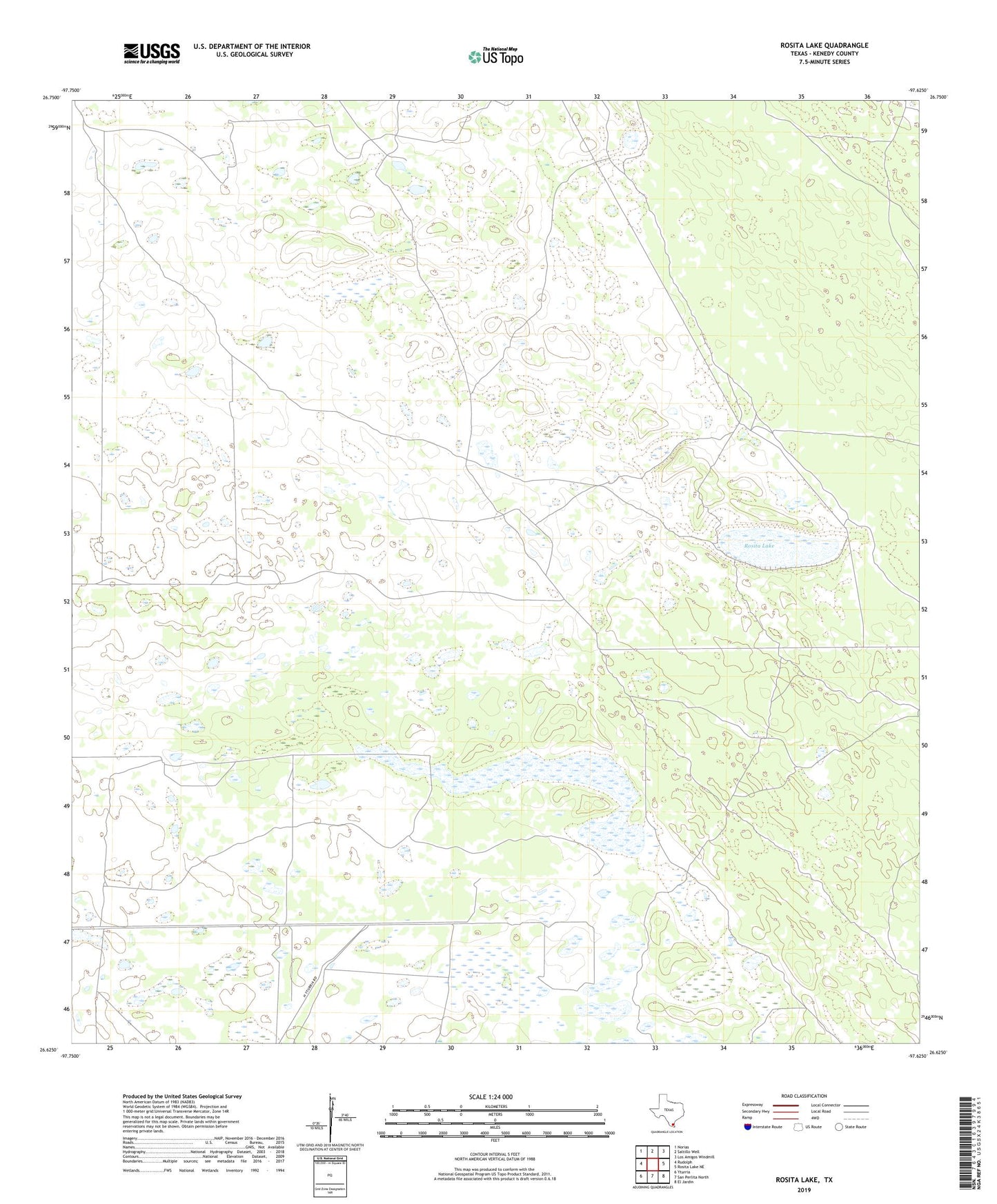
2019 topographic map quadrangle Rosita Lake in the state of Texas. Scale: 1:24000. Based on the newly updated USGS 7.5' US Topo map series, this map is in the following counties: Kenedy. The map contains contour data, water features, and other items you are used to seeing on USGS maps, but also has updated roads and other features. This is the next generation of topographic maps. Printed on high-quality waterproof paper with UV fade-resistant inks.
Quads adjacent to this one:
West: Rudolph
Northwest: Norias
North: Saltillo Well
Northeast: Los Amigos Windmill
East: Rosita Lake NE
Southeast: El Jardin
South: San Perlita North
Southwest: Yturria
Contains the following named places: Badeno Windmill, Burro Pinto Artesian Well, Caldero Artesian Well, Chiltipin Windmill, Cuatro de Julio Windmill, Cuatro Esquinas Windmill, El Alazan Windmill, El Florido Windmill, Mackin Windmill, Rosita Artesian Well, Rosita Lake, Tasa Windmill, Tate Windmill, Tres Esquinas Windmill, Washington Windmill