MyTopo
Norias Texas US Topo Map
Couldn't load pickup availability
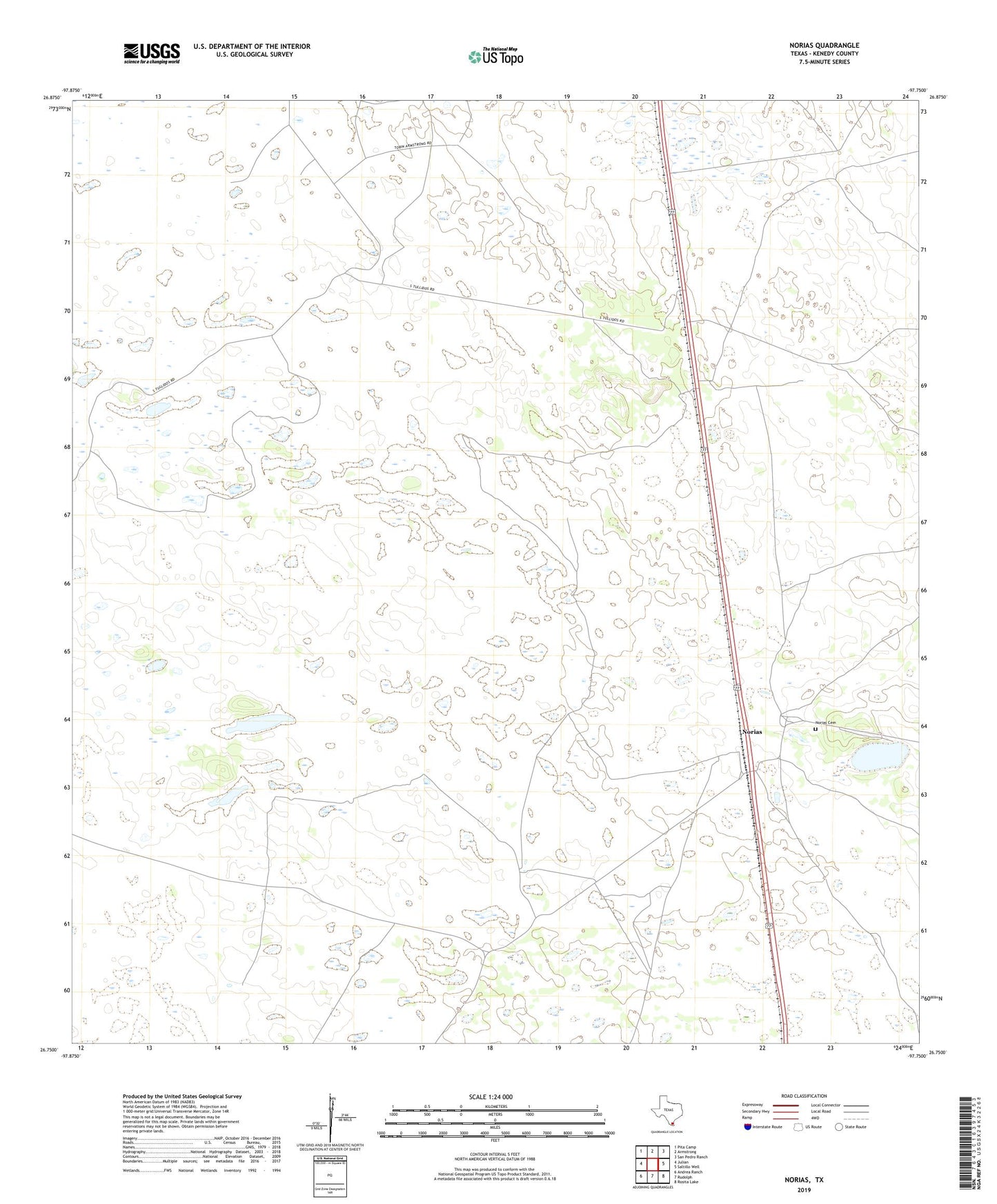
2022 topographic map quadrangle Norias in the state of Texas. Scale: 1:24000. Based on the newly updated USGS 7.5' US Topo map series, this map is in the following counties: Kenedy. The map contains contour data, water features, and other items you are used to seeing on USGS maps, but also has updated roads and other features. This is the next generation of topographic maps. Printed on high-quality waterproof paper with UV fade-resistant inks.
Quads adjacent to this one:
West: Julian
Northwest: Pita Camp
North: Armstrong
Northeast: San Pedro Ranch
East: Saltillo Well
Southeast: Rosita Lake
South: Rudolph
Southwest: Andrea Ranch
This map covers the same area as the classic USGS quad with code o26097g7.
Contains the following named places: Banderitas Artesian Well, Boton Artesian Well, Calaveras Well, Cantu Artesian Well, Diame Artesian Well, Ferman Artesian Well, La Grava Artesian Well, La Grulla Artesian Well, La Grulla Well, Lola Artesian Well, Lopez Artesian Well, Lorenzo Artesian Well, Los Tullidos Well, Norias, Norias Cemetery, Rodeo Artesian Well, Uvence Artesian Well