MyTopo
Abajo Peak Utah US Topo Map
Couldn't load pickup availability
Also explore the Abajo Peak Forest Service Topo of this same quad for updated USFS data
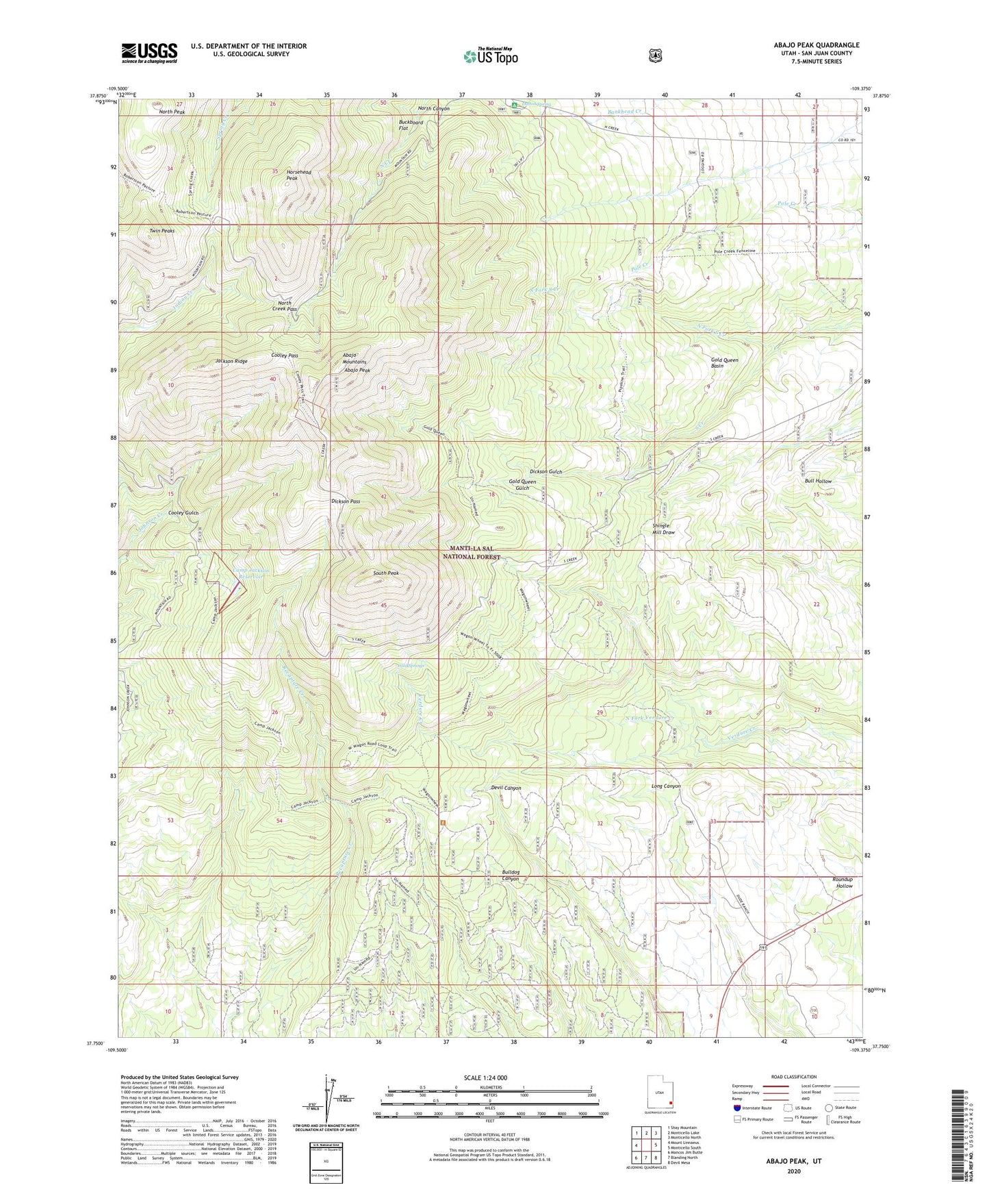
2023 topographic map quadrangle Abajo Peak in the state of Utah. Scale: 1:24000. Based on the newly updated USGS 7.5' US Topo map series, this map is in the following counties: San Juan. The map contains contour data, water features, and other items you are used to seeing on USGS maps, but also has updated roads and other features. This is the next generation of topographic maps. Printed on high-quality waterproof paper with UV fade-resistant inks.
Quads adjacent to this one:
West: Mount Linnaeus
Northwest: Shay Mountain
North: Monticello Lake
Northeast: Monticello North
East: Monticello South
Southeast: Devil Mesa
South: Blanding North
Southwest: Mancos Jim Butte
This map covers the same area as the classic USGS quad with code o37109g4.
Contains the following named places: Abajo Peak, Baker Guard Station, Blue Mountain Dude Ranch, Blue Mountain Ski Area, Buckboard Flat, Camp Jackson, Camp Jackson Dam, Camp Jackson Reservoir, Cold Springs, Cold Springs Electronic Site, Cooley Gulch, Cooley Pass, Dalton Spring, Dalton Spring Campground, Dalton Trailer Camp, Dickson Gulch, Dickson Pass, Dream Mine, Gold Queen Basin, Gold Queen Gulch, Gold Queen Mine, Horsehead Peak, Jackson Camp, Jackson Ridge, North Canyon, North Creek Pass, North Fork South Creek, North Fork Verdure Creek, North Peak, Roundup Hollow, South Peak, Twin Peaks