MyTopo
Sage Creek Utah US Topo Map
Couldn't load pickup availability
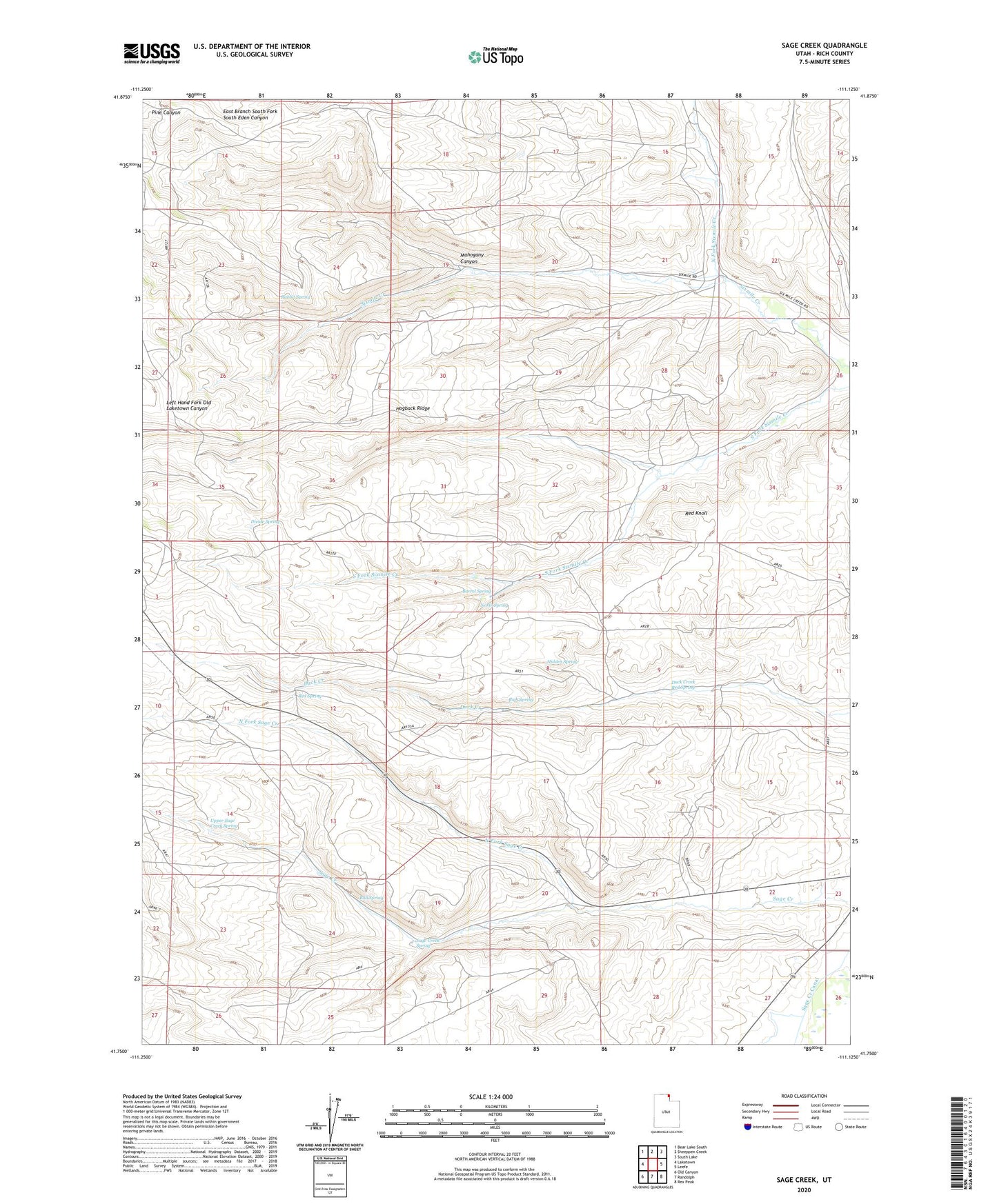
2023 topographic map quadrangle Sage Creek in the state of Utah. Scale: 1:24000. Based on the newly updated USGS 7.5' US Topo map series, this map is in the following counties: Rich. The map contains contour data, water features, and other items you are used to seeing on USGS maps, but also has updated roads and other features. This is the next generation of topographic maps. Printed on high-quality waterproof paper with UV fade-resistant inks.
Quads adjacent to this one:
West: Laketown
Northwest: Bear Lake South
North: Sheeppen Creek
Northeast: South Lake
East: Leefe
Southeast: Rex Peak
South: Randolph
Southwest: Old Canyon
This map covers the same area as the classic USGS quad with code o41111g2.
Contains the following named places: Barrel Spring, Bull Spring, Divide Spring, Duck Creek Red Spring, Hidden Spring, Hogback Ridge, Mahogany Canyon, North Fork Sage Creek, North Fork Sixmile Creek, North Spring, Rabbit Spring, Red Knoll, Red Spring, Rich Spring, Sage Creek Spring, Sixmile Ranch, Upper Sage Creek Spring