MyTopo
Sids Mountain Utah US Topo Map
Couldn't load pickup availability
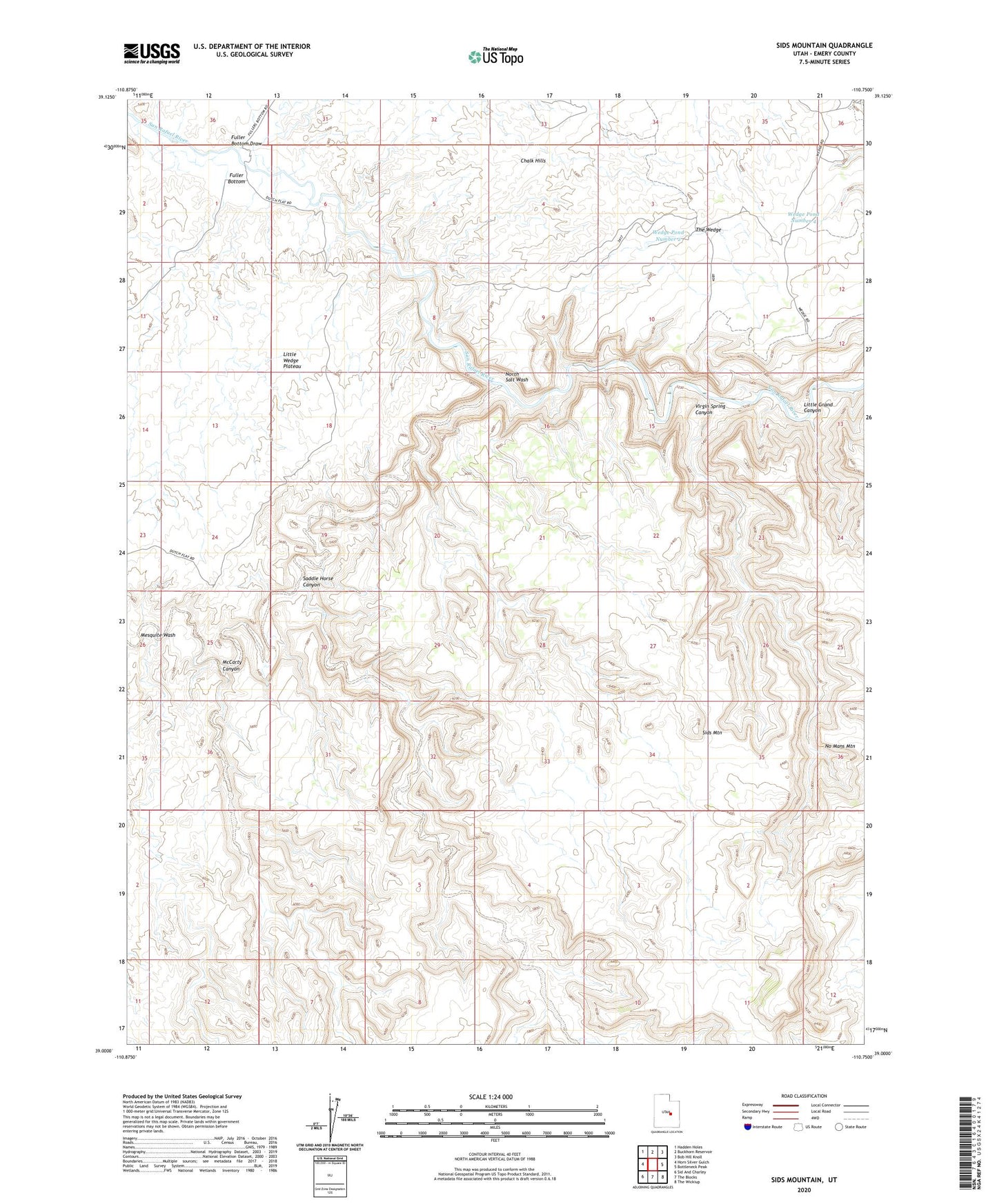
2023 topographic map quadrangle Sids Mountain in the state of Utah. Scale: 1:24000. Based on the newly updated USGS 7.5' US Topo map series, this map is in the following counties: Emery. The map contains contour data, water features, and other items you are used to seeing on USGS maps, but also has updated roads and other features. This is the next generation of topographic maps. Printed on high-quality waterproof paper with UV fade-resistant inks.
Quads adjacent to this one:
West: Horn Silver Gulch
Northwest: Hadden Holes
North: Buckhorn Reservoir
Northeast: Bob Hill Knoll
East: Bottleneck Peak
Southeast: The Wickiup
South: The Blocks
Southwest: Sid And Charley
This map covers the same area as the classic USGS quad with code o39110a7.
Contains the following named places: Fuller Bottom, Fuller Bottom Draw, Little Wedge Plateau, McCarty Canyon, Mesquite Wash, North Salt Wash, Saddle Horse Canyon, Sids Mountain, Virgin Spring Canyon, Wedge Pond Number 2, Wedge Pond Number 4