MyTopo
Smith Mesa Utah US Topo Map
Couldn't load pickup availability
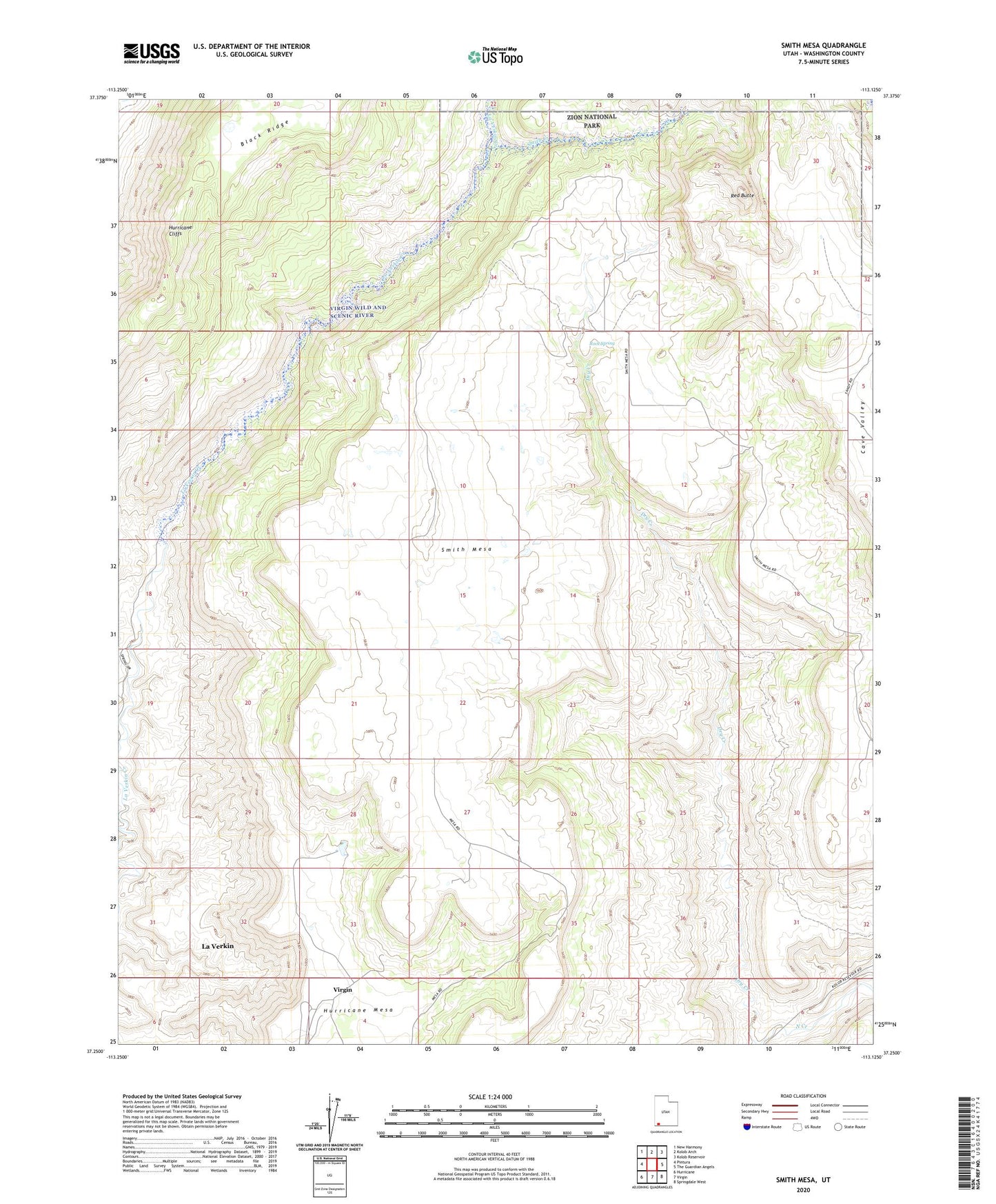
2023 topographic map quadrangle Smith Mesa in the state of Utah. Scale: 1:24000. Based on the newly updated USGS 7.5' US Topo map series, this map is in the following counties: Washington. The map contains contour data, water features, and other items you are used to seeing on USGS maps, but also has updated roads and other features. This is the next generation of topographic maps. Printed on high-quality waterproof paper with UV fade-resistant inks.
Quads adjacent to this one:
West: Pintura
Northwest: New Harmony
North: Kolob Arch
Northeast: Kolob Reservoir
East: The Guardian Angels
Southeast: Springdale West
South: Virgin
Southwest: Hurricane
This map covers the same area as the classic USGS quad with code o37113c2.
Contains the following named places: Black Ridge, Black Wash, Blackridge Wilderness, Hurricane Mesa, Lamareaux Tank, Red Butte, Red Butte Wilderness, Rock Spring, Smith Creek, Smith Mesa