MyTopo
Covesville Virginia US Topo Map
Couldn't load pickup availability
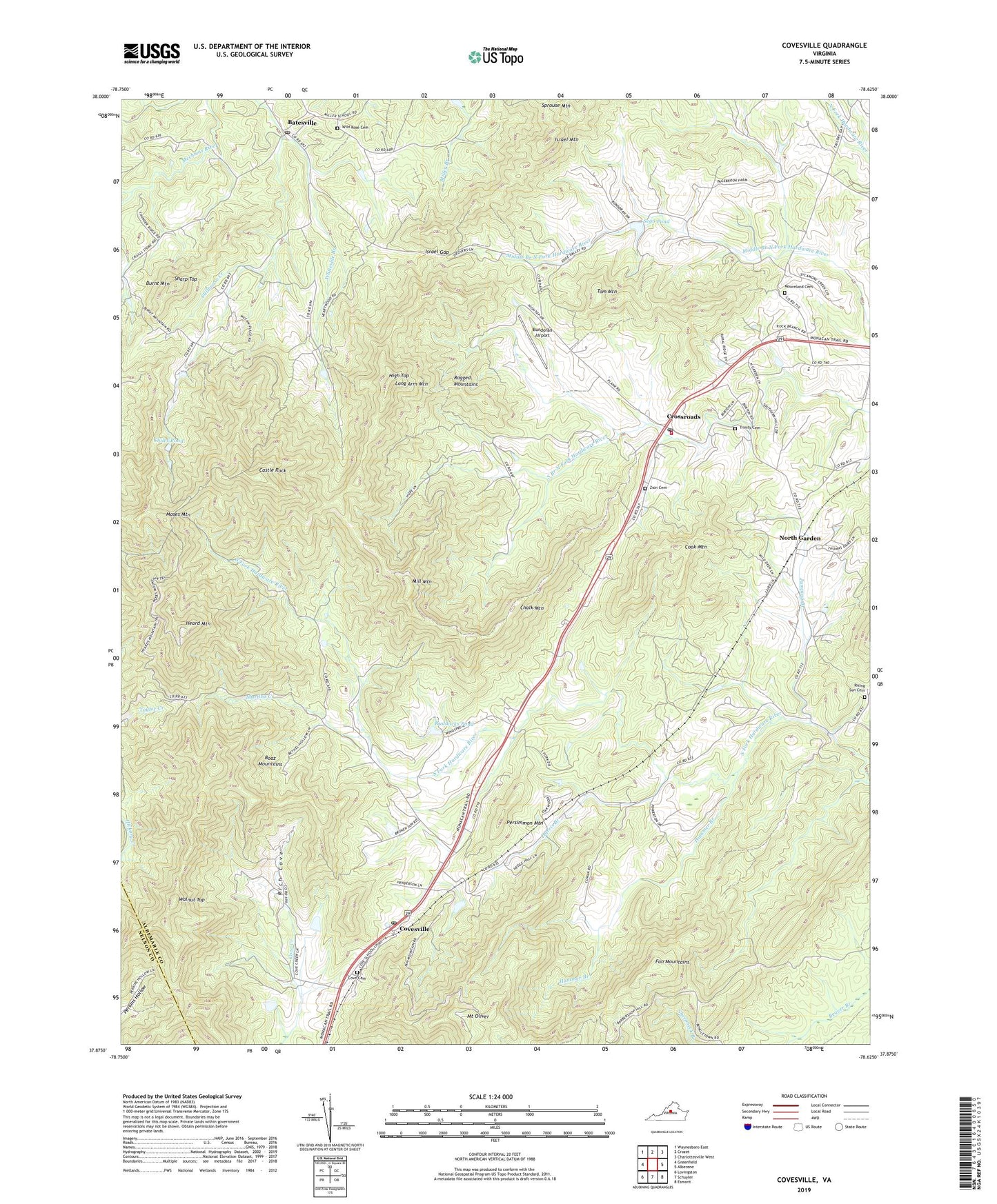
2022 topographic map quadrangle Covesville in the state of Virginia. Scale: 1:24000. Based on the newly updated USGS 7.5' US Topo map series, this map is in the following counties: Albemarle, Nelson. The map contains contour data, water features, and other items you are used to seeing on USGS maps, but also has updated roads and other features. This is the next generation of topographic maps. Printed on high-quality waterproof paper with UV fade-resistant inks.
Quads adjacent to this one:
West: Greenfield
Northwest: Waynesboro East
North: Crozet
Northeast: Charlottesville West
East: Alberene
Southeast: Esmont
South: Schuyler
Southwest: Lovingston
This map covers the same area as the classic USGS quad with code o37078h6.
Contains the following named places: Batesville, Batesville Post Office, Batesville United Methodist Church, Bethel Church, Boaz Mountains, Boxwood Lawn, Bundoran Airport, Burnt Mountain, Castle Rock, Castlebrook, Cedar Vale School, Chalk Mountain, Chiles Dam, Chiles Pond, Cook Mountain, Cove Cemetery, Cove Presbyterian Church, Covesville, Covesville Baptist Church, Covesville Post Office, Crossroads, Fan Mountains, Garland School, Garlands Store, Hammer Branch, Harris Branch, Heard Mountain, High Top, Israel Gap, Israel Mountain, Jumping Branch, Long Arm Mountain, Martins Creek, McClauhan Farm Pond Number One Dam, McClauhan Farm Pond Number Two Dam, Mill Mountain, Miran Forest, Moon House, Mooreland Cemetery, Mooreland Church, Moses Mountain, Mount Ed Church, Mount Oliver, Mount View Church, North Garden, North Garden Census Designated Place, North Garden Post Office, North Garden Volunteer Fire Company, North Garden Volunteer Fire Company Station 3, Persimmon Mountain, Ragged Mountains, Red Hill Elementary School, Rich Cove, Rising Sun Cemetery, Rising Sun Church, Ruddocks Pond, Samuel Miller District, Sego Dam, Sego Pond, Sharp Top, South Garden, South Garden Baptist Church, Tom Mountain, Trinity Cemetery, Trinity Church, Walnut Top, Whiteside Branch, Wieboldts Dam, Wild Rose Cemetery, Zion Cemetery, Zion Church, ZIP Codes: 22931, 22959


