MyTopo
Cripple Creek Virginia US Topo Map
Couldn't load pickup availability
Also explore the Cripple Creek Forest Service Topo of this same quad for updated USFS data
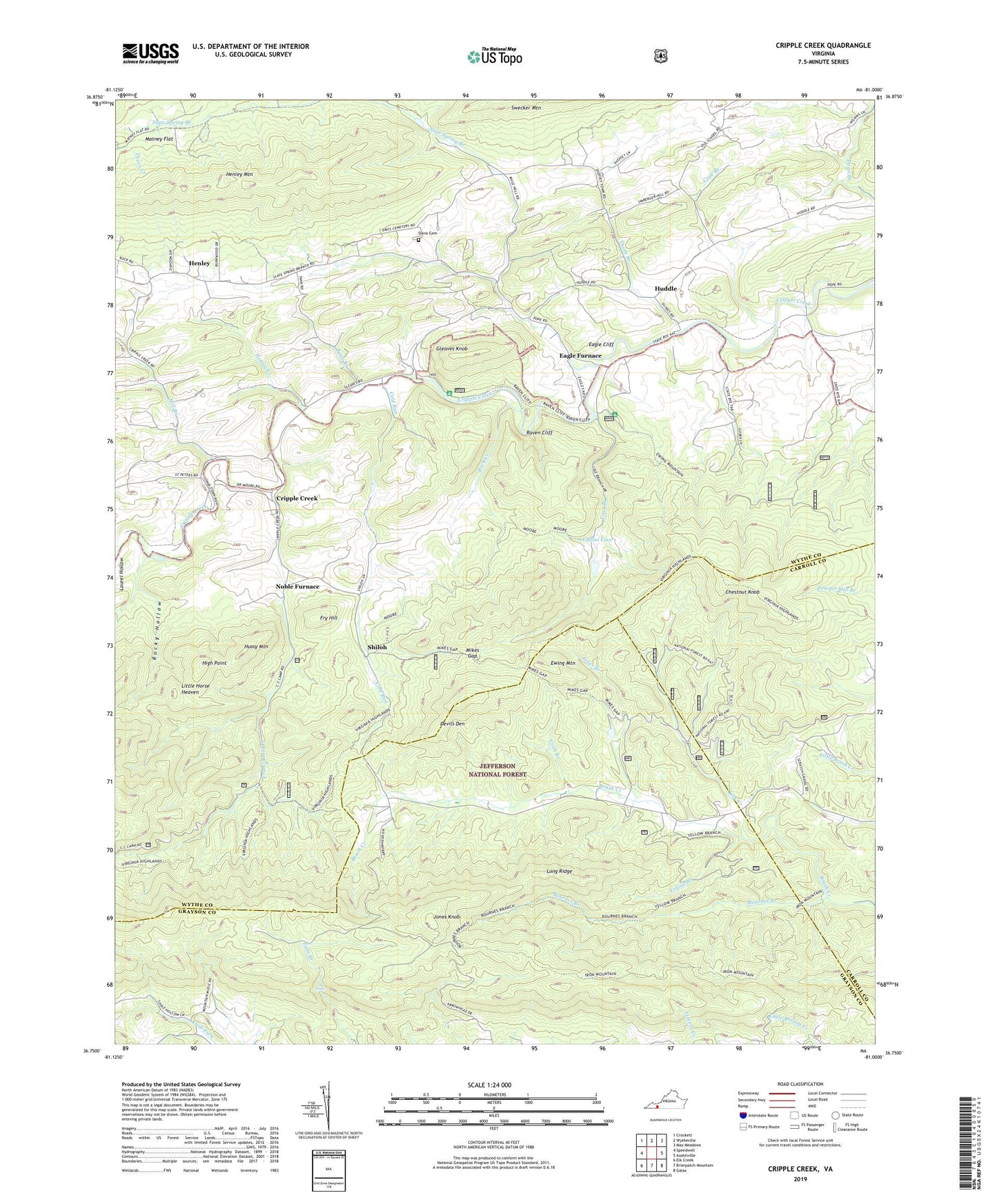
2022 topographic map quadrangle Cripple Creek in the state of Virginia. Scale: 1:24000. Based on the newly updated USGS 7.5' US Topo map series, this map is in the following counties: Wythe, Grayson, Carroll. The map contains contour data, water features, and other items you are used to seeing on USGS maps, but also has updated roads and other features. This is the next generation of topographic maps. Printed on high-quality waterproof paper with UV fade-resistant inks.
Quads adjacent to this one:
West: Speedwell
Northwest: Crockett
North: Wytheville
Northeast: Max Meadows
East: Austinville
Southeast: Galax
South: Brierpatch Mountain
Southwest: Elk Creek
This map covers the same area as the classic USGS quad with code o36081g1.
Contains the following named places: Bethany Church, Bournes Branch, Bournes Branch Trail, Brush Creek Mission, Brush Creek School, Calvary Church, Catron, Chestnut Knob, Cliff Branch Trail, Cold Run, Cold Springs Church, Collins Cove, Cook Branch, Coon Branch, Cove Branch, Cove Branch School, Cripple Creek, Crockett Chapel, Davis Cemetery, Devils Den, Eagle, Eagle Cliff, Eagle Furnace, Ewing Mountain, Faith Church, Francis Mill Creek, Fry Hill, Gleaves Knob, Henley, Henley Creek, Henley Mountain, Henley School, High Point, Huddle, Hussy Mountain, Jones Branch, Jones Knob, Laurel Hollow, Lick Creek, Little Horse Heaven, Long Ridge, Matney Flat, Memorial Church, Mikes Gap, Miles Gap Trail, Mill Branch, Mountain Trail, Mountain View School, New Hope Church, New Hope School, Noble Furnace, Penn Branch, Raven Cliff, Raven Cliff Campground, Raven Cliff Furnace, Raven Cliff Horse Camp, Rock Creek, Rocky Hollow, Saint Peters Church, Shiloh, Slate Spring Branch, Slate Spring School, The Falls, Thorn Branch, Thorn Creek, Yellow Branch, Yellow Branch Trail, ZIP Code: 24322