MyTopo
Horseshoe Mountain Virginia US Topo Map
Couldn't load pickup availability
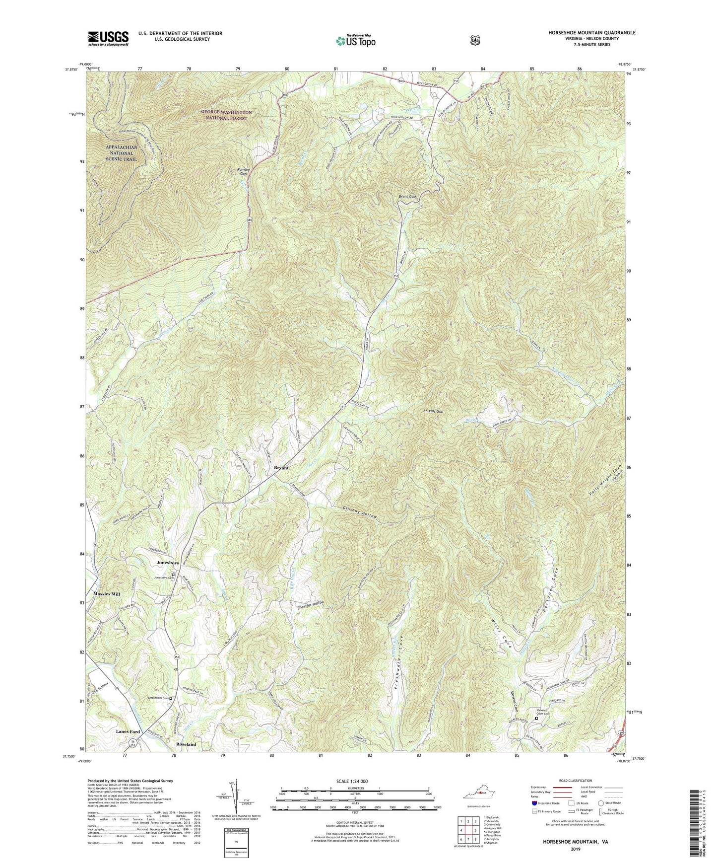
2019 topographic map quadrangle Horseshoe Mountain in the state of Virginia. Scale: 1:24000. Based on the newly updated USGS 7.5' US Topo map series, this map is in the following counties: Nelson. The map contains contour data, water features, and other items you are used to seeing on USGS maps, but also has updated roads and other features. This is the next generation of topographic maps. Printed on high-quality waterproof paper with UV fade-resistant inks.
Quads adjacent to this one:
West: Massies Mill
Northwest: Big Levels
North: Sherando
Northeast: Greenfield
East: Lovingston
Southeast: Shipman
South: Arrington
Southwest: Piney River
Contains the following named places: Becknors Ridge, Beech Grove Christian Church, Bethlehem Cemetery, Bethlehem Church, Bolton Mountain, Brent Gap, Bryant, Cat Rock Mountain, Chimney Rock, Cow Hollow, East Branch Hat Creek, Fleetwood-Massies Mill Elementary School, Fortunes Cove, Freshwater, Ginseng Hollow, Harpers Creek Shelter, High Top Mountain, Horseshoe Mountain, Jonesboro, Jonesboro Baptist Church, Jonesboro Cemetery, Lanes Ford, Lesesne State Forest, Lovingston Elementary School, Mars Knob, Massie Memorial Church, Massies Mill Presbyterian Church, Mill Dam Creek, Mills Mountain, Mount Pleasant Church, Nelson County, North Prong Davis Creek, Pats Knob, Ramsey, Ramsey Gap, Roseland Post Office, Roseland Rescue Squad, Roseland Rescue Squad Heliport, Shaeffer Hollow, Shields Gap, Stevens Cove Cemetery, Stevens Cove Church, Stevens Helicopters Heliport, The Falls, Three Ridges, Three Ridges Wilderness, White Mountain, Wills Cove, Wintergreen School, Woods Mountain, Zion Hill Church, ZIP Code: 22949