MyTopo
Rollins Fork Virginia US Topo Map
Couldn't load pickup availability
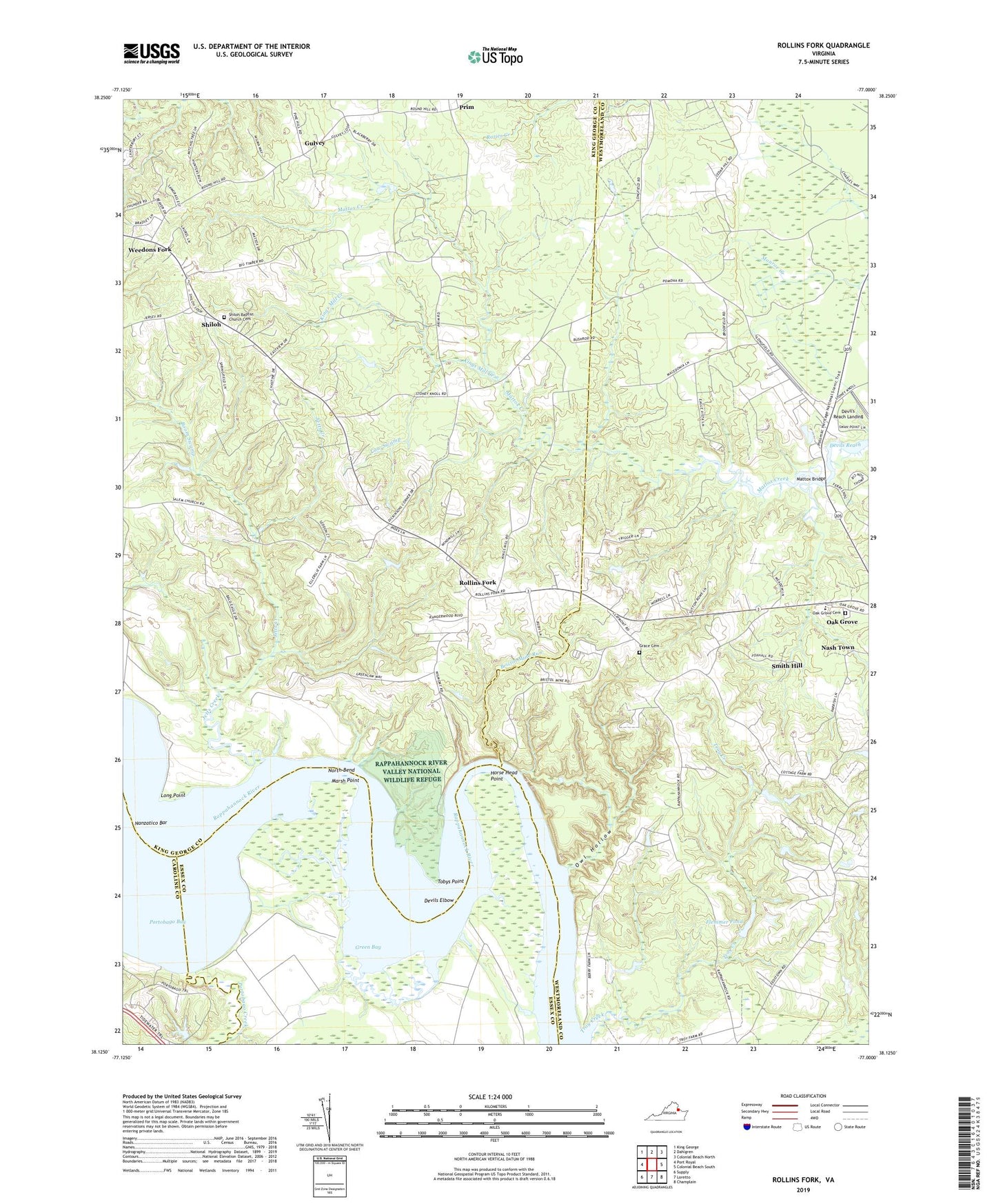
2022 topographic map quadrangle Rollins Fork in the state of Virginia. Scale: 1:24000. Based on the newly updated USGS 7.5' US Topo map series, this map is in the following counties: Westmoreland, King George, Essex, Caroline. The map contains contour data, water features, and other items you are used to seeing on USGS maps, but also has updated roads and other features. This is the next generation of topographic maps. Printed on high-quality waterproof paper with UV fade-resistant inks.
Quads adjacent to this one:
West: Port Royal
Northwest: King George
North: Dahlgren
Northeast: Colonial Beach North
East: Colonial Beach South
Southeast: Champlain
South: Loretto
Southwest: Supply
This map covers the same area as the classic USGS quad with code o38077b1.
Contains the following named places: Boom Swamp, Bristol Mine Run, Cameron Hills Golf Links, Colonial Beach Dragway, Cone Creek, Cow Swamp, Devils Elbow, Devil's Reach Landing, Dickinsons Corner, Eltham School, Flemmer Dam, Flemmer Pond, Grace Cemetery, Grace Church, Green Bay, Greenlaw Wharf, Gulvey, Horse Head Point, Howards View Church, Index, Ingleside Vineyards, Jetts Creek, Kings Mill, Kings Mill Creek, Lands End Wildlife Management Area, Leesville, Long Point, Macedonia Church, Marsh Point, Mattox Bridge, Mattox Ferry, Nanzatico Bar, Nanzatico Bay, Nash Town, North Bend, Oak Grove Cemetery, Old Woodlawn, Owl Hollow, Pomona, Portobago Bay, Portobago Creek, Prim, Rollins Fork, Shiloh, Shiloh Baptist Church, Shiloh Baptist Church Cemetery, Shiloh District, Shiloh School, Smith Hill, Tobys Point, Troy Creek, Trysting Place, Upper Middlesex Volunteer Fire Department, Washington District Elementary School, Weedons Fork, WGRQ-FM (Colonial Beach), Wilmont Wharf, Wilmot