MyTopo
Sutherland Virginia US Topo Map
Couldn't load pickup availability
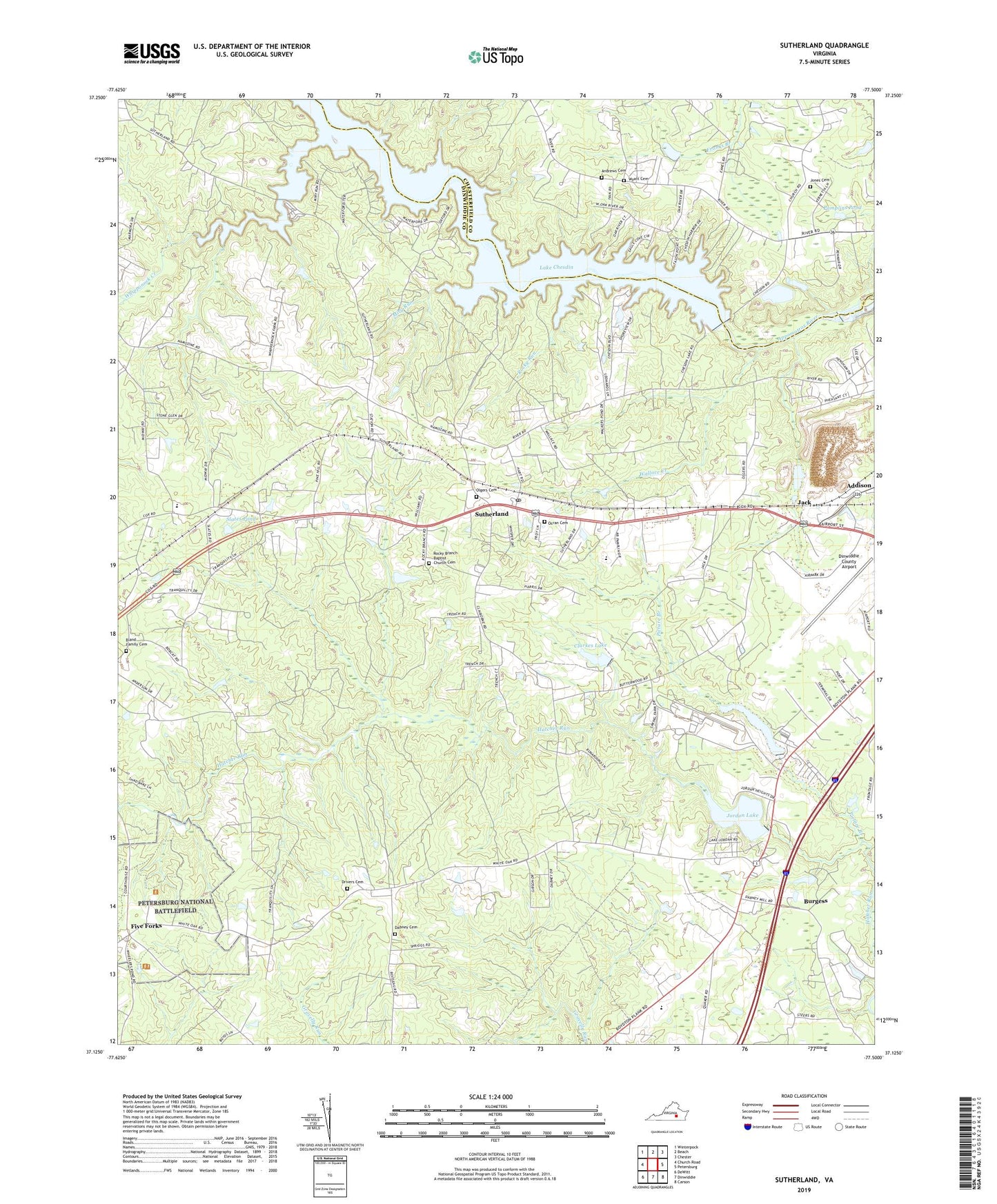
2022 topographic map quadrangle Sutherland in the state of Virginia. Scale: 1:24000. Based on the newly updated USGS 7.5' US Topo map series, this map is in the following counties: Dinwiddie, Chesterfield. The map contains contour data, water features, and other items you are used to seeing on USGS maps, but also has updated roads and other features. This is the next generation of topographic maps. Printed on high-quality waterproof paper with UV fade-resistant inks.
Quads adjacent to this one:
West: Church Road
Northwest: Winterpock
North: Beach
Northeast: Chester
East: Petersburg
Southeast: Carson
South: Dinwiddie
Southwest: DeWitt
This map covers the same area as the classic USGS quad with code o37077b5.
Contains the following named places: Addison, Andrews Cemetery, Beverly Acres, Bland Family Cemetery, Burgess, Chesdin Manor, Chestnut Gardens, Clarkes Dam, Clarkes Lake, Clay Estates, Dabney Cemetery, Dabney Estates, Dinwiddie Ambulance and Rescue Squad, Dinwiddie County Airport, Dinwiddie Volunteer Ambulance and Rescue Squad, District 2, Drivers Cemetery, Five Forks, Fort Lee Recreation Area, George F Brasfield Dam, Gravelly Run Church, Hunters Green, Jack, Jack Stone Quarry, Jones Cemetery, Jordon Lake, Lake Jordon Dam, Lakewood, Leonards Boat Ramp, Leonards Campground, LifeEvac I, Midway Elementary School, Miry Run, Number Eleven School, Oak Grove Baptist Church, Oak Hill Estates, Ocran Cemetery, Ocran Church, Olgers Cemetery, Pamplins Pond, Penmar Estates, Picture Branch, Picture Dam, Picture Lake, Picture Lake Campground, Pine Grove Church, Rocky Branch Baptist Church Cemetery, Rocky Branch Church, Rocky Run, Sandy Ridge, Seven Springs Marina, Slates Pond, Southside Elementary School, Springfield Church, Stafford Brothers Dam, Stoney Creek, Sutherland, Sutherland Elementary School, Sutherland Manor, Sutherland Post Office, Virginia Motorsports Park, Wallace Creek, Wesley Chapel, Whipponock Boat Ramp, Whipponock Campground, Whipponock Creek, Wyatt Cemetery, ZIP Code: 23885


