MyTopo
Wellville Virginia US Topo Map
Couldn't load pickup availability
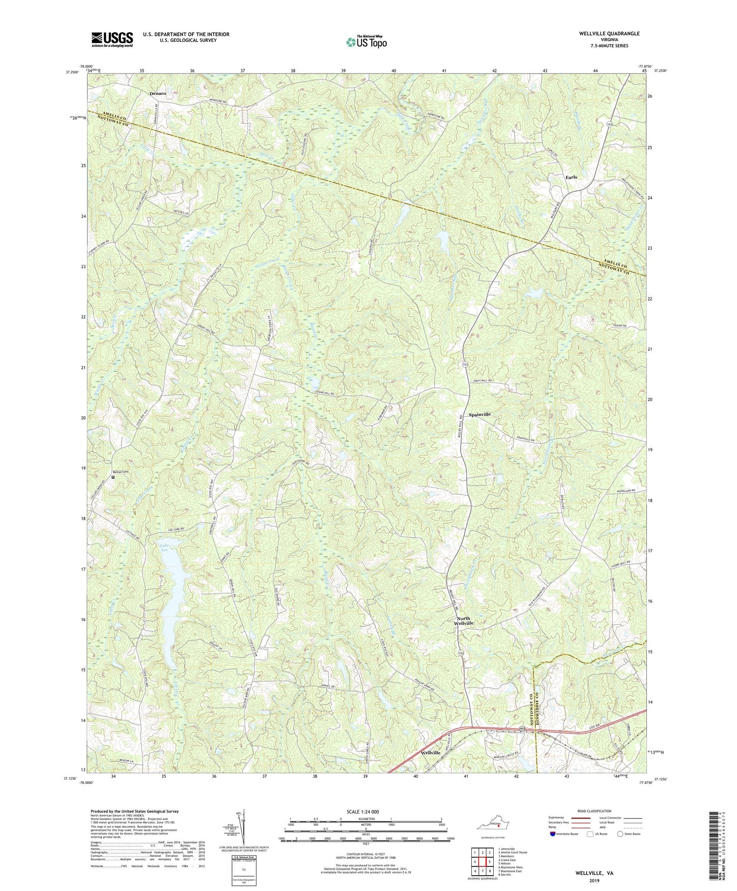
2019 topographic map quadrangle Wellville in the state of Virginia. Scale: 1:24000. Based on the newly updated USGS 7.5' US Topo map series, this map is in the following counties: Nottoway, Amelia, Dinwiddie. The map contains contour data, water features, and other items you are used to seeing on USGS maps, but also has updated roads and other features. This is the next generation of topographic maps. Printed on high-quality waterproof paper with UV fade-resistant inks.
Quads adjacent to this one:
West: Crewe East
Northwest: Jetersville
North: Amelia Court House
Northeast: Mannboro
East: Hebron
Southeast: Darvills
South: Blackstone East
Southwest: Blackstone West
Contains the following named places: Belle Fonte Church, Belle Fonte Grange Hall, Bethel Cemetery, Bethel Church, Bland Creek, Cedar Hill Church, Cellar Creek, Cellar Creek Church, Clays Corner, Colemans Store, Daniels Dam, Davis Dam, Denaro, District 4, Earls, Greensville Volunteer Rescue Squad, Hawkes Store, Hawks Branch, Hobbs Mill, Jerusalem Church, Jerusalem School, Lake Lee, Lake Lee Dam, Lees Creek, Little Creek, Luthers Branch, North Wellville, Pattersons Store, Poplar Lawn Church, Poplar Lawn School, Rocky Hill Church, Simentons Store, Spainville, Wellville, Woody Creek, WSVS-FM (Crewe)