MyTopo
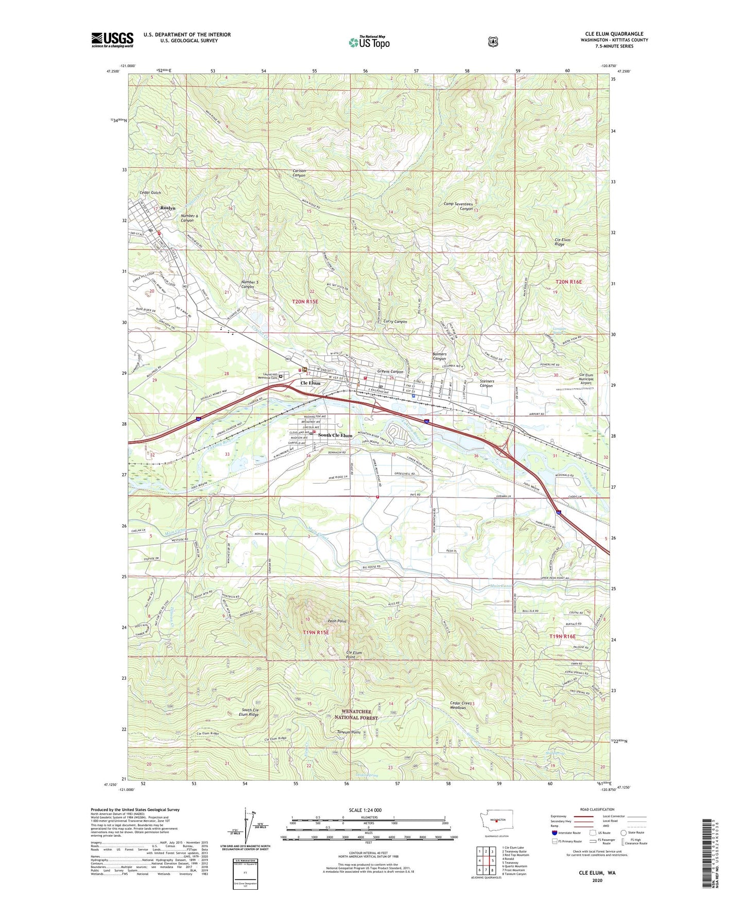
Cle Elum Washington US Topo Map
Couldn't load pickup availability
Also explore the Cle Elum Forest Service Topo of this same quad for updated USFS data
2023 topographic map quadrangle Cle Elum in the state of Washington. Scale: 1:24000. Based on the newly updated USGS 7.5' US Topo map series, this map is in the following counties: Kittitas. The map contains contour data, water features, and other items you are used to seeing on USGS maps, but also has updated roads and other features. This is the next generation of topographic maps. Printed on high-quality waterproof paper with UV fade-resistant inks.
Quads adjacent to this one:
West: Ronald
Northwest: Cle Elum Lake
North: Teanaway Butte
Northeast: Red Top Mountain
East: Teanaway
Southeast: Taneum Canyon
South: Frost Mountain
Southwest: Quartz Mountain
This map covers the same area as the classic USGS quad with code o47120b8.
Contains the following named places: Balmers Canyon, Cedar Creek Meadows, Cedar Gulch, City of Cle Elum, Cle Elum, Cle Elum Elementary and High School, Cle Elum Fire Department, Cle Elum High School, Cle Elum Municipal Airport, Cle Elum Point, Cle Elum Point Lookout, Cle Elum Police Department, Cle Elum Post Office, Cle Elum Ranger Station, Cle Elum River, Cle Elum-Roslyn Elementary School, Crystal Creek, Curry Canyon, Goodrich Mine, Greens Canyon, Hospital Hill, Independence Mine, Kittitas County Fire District 7 Station 1 Headquarters, Kittitas County Hospital District 2 / Upper Kittitas County Medic One, Lanigan Spring, Lankin Spring, Laurel Hill Memorial Cemetery, Loggers Field, Main Canal, Number 5 Canyon, Number 5 Mine, Number 6 Canyon, Number 7 Mine, Number 8 Mine, Number 9 Mine, Peoh Point, Roslyn, Roslyn and Cle Elum Hospital and Clinic, Roslyn Fire Department, Roslyn Post Office, Rothlisberger Mine, Skull Spring, South Cle Elum, South Cle Elum Elementary School, South Cle Elum Fire Department, South Cle Elum Post Office, Steiners Canyon, Taneum Point, Tillman Creek, Town of South Cle Elum, United States Forest Service Fire Shop Cle Elum Ranger District, Walter Strom Middle School, ZIP Codes: 98941, 98943


