MyTopo
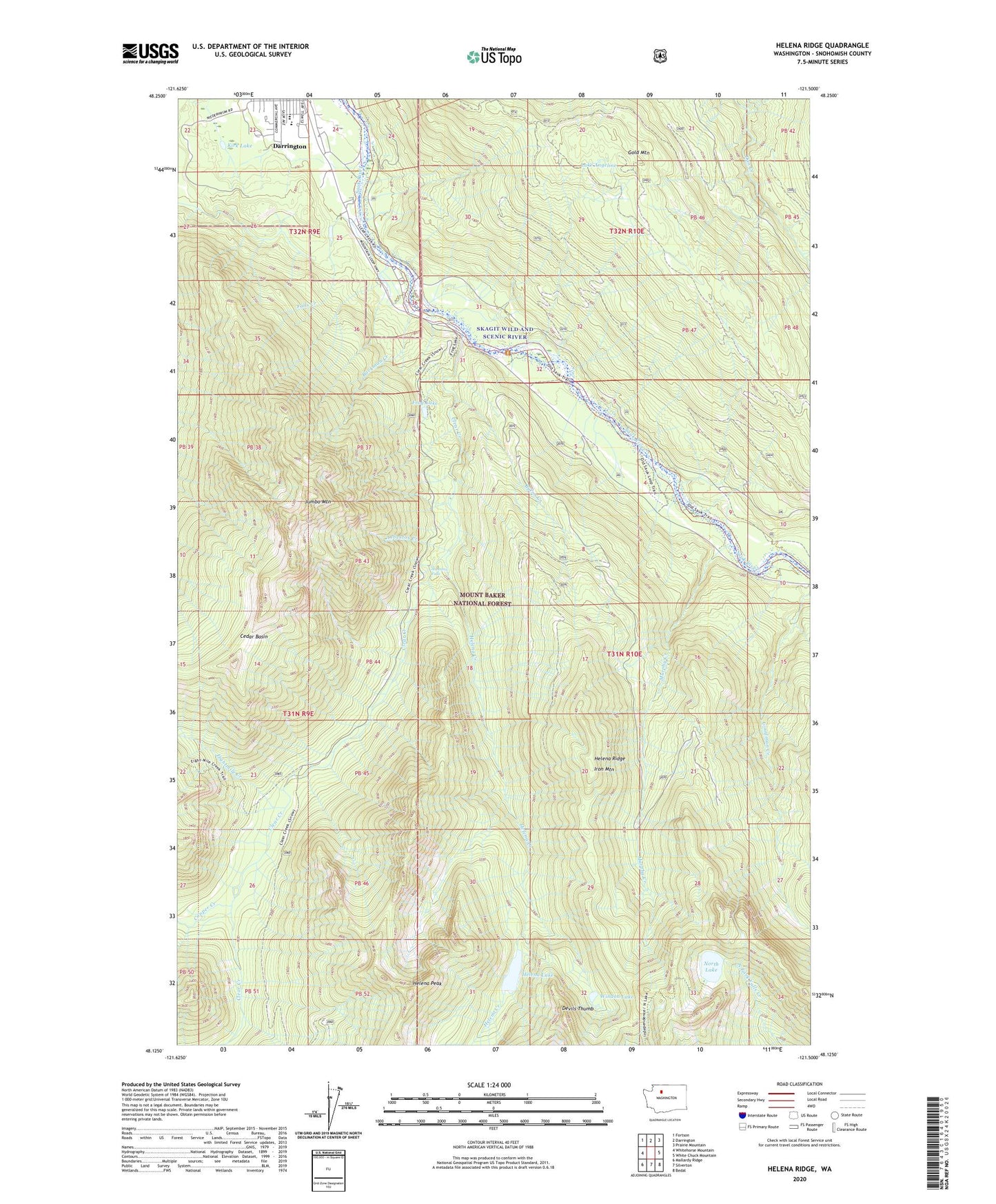
Helena Ridge Washington US Topo Map
Couldn't load pickup availability
Also explore the Helena Ridge Forest Service Topo of this same quad for updated USFS data
2023 topographic map quadrangle Helena Ridge in the state of Washington. Scale: 1:24000. Based on the newly updated USGS 7.5' US Topo map series, this map is in the following counties: Snohomish. The map contains contour data, water features, and other items you are used to seeing on USGS maps, but also has updated roads and other features. This is the next generation of topographic maps. Printed on high-quality waterproof paper with UV fade-resistant inks.
Quads adjacent to this one:
West: Whitehorse Mountain
Northwest: Fortson
North: Darrington
Northeast: Prairie Mountain
East: White Chuck Mountain
Southeast: Bedal
South: Silverton
Southwest: Mallardy Ridge
This map covers the same area as the classic USGS quad with code o48121b5.
Contains the following named places: Asbestos Creek, Asbestos Falls, Backman County Park, Backman Creek, Burns Creek, Cedar Basin, Clear Creek, Clear Creek Campground, Copper Creek, Darrington High School, Darrington Mobile Home Park 2, Darrington Water Works Dam, Decline Creek, Devils Thumb, Eightmile Creek, Falls Creek, Frog Lake, Gold Mountain, Helena Creek, Helena Lake, Helena Peak, Helena Ridge, Iron Mountain, Jumbo Mountain, Kids Place Early Learning Center, Kirk Lake, Lake Angeline, Murphy Creek, North Lake, Windon Lake