MyTopo
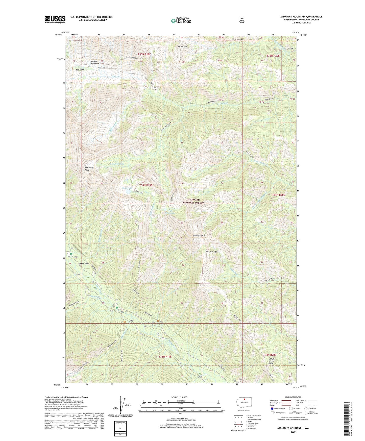
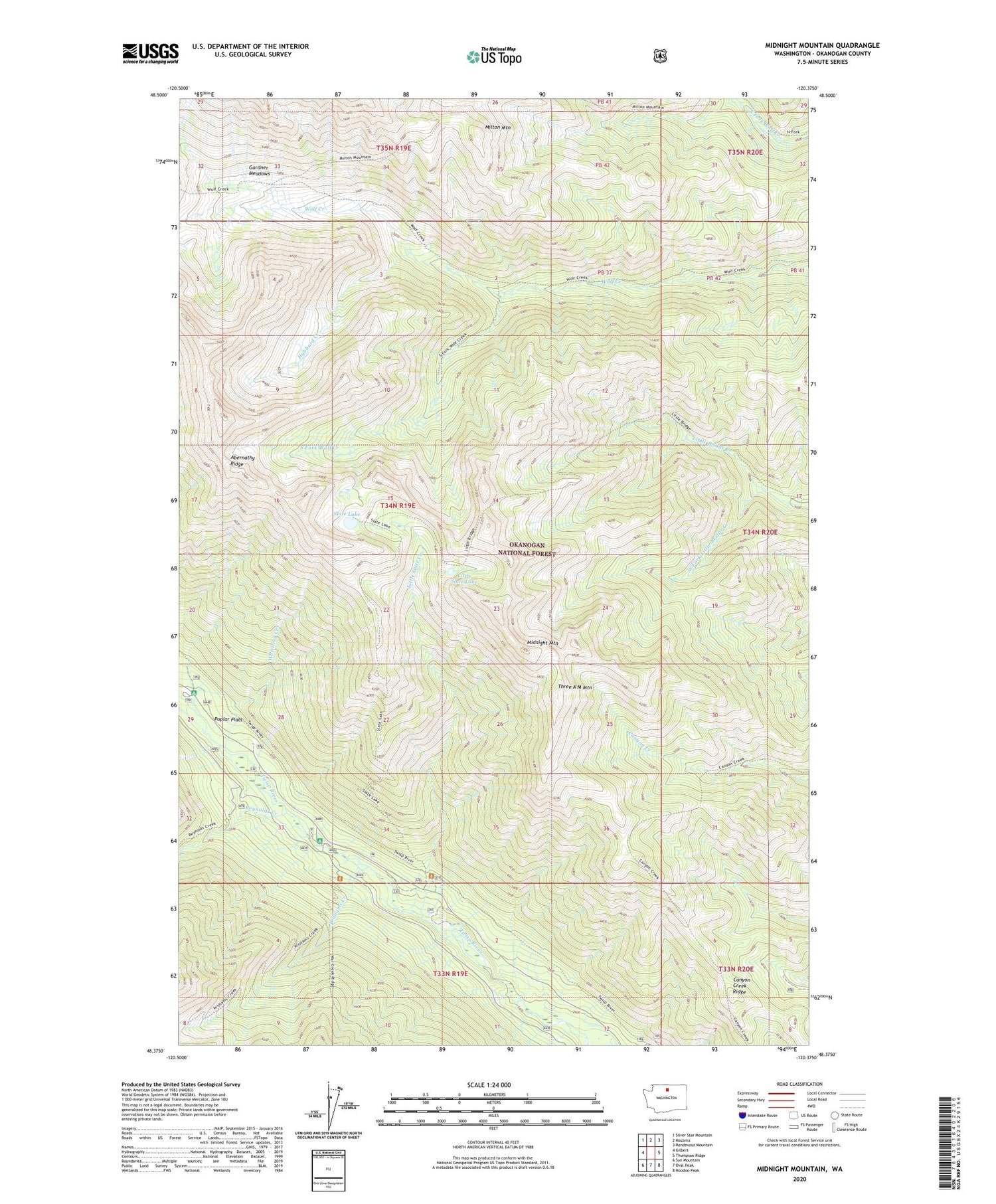
Midnight Mountain Washington US Topo Map
Couldn't load pickup availability
2020 topographic map quadrangle Midnight Mountain in the state of Washington. Scale: 1:24000. Based on the newly updated USGS 7.5' US Topo map series, this map is in the following counties: Okanogan. The map contains contour data, water features, and other items you are used to seeing on USGS maps, but also has updated roads and other features. This is the next generation of topographic maps. Printed on high-quality waterproof paper with UV fade-resistant inks.
Quads adjacent to this one:
West: Gilbert
Northwest: Silver Star Mountain
North: Mazama
Northeast: Rendevous Mountain
East: Thompson Ridge
Southeast: Hoodoo Peak
South: Oval Peak
Southwest: Sun Mountain
Contains the following named places: Canyon Creek Ridge, Cook Creek, Gardner Meadows, Hubbard Creek, Little Slate Creek, Little Slate Lake, Midnight Mountain, Milton Mountain, Mystery Campground, Poplar Flat Campground, Poplar Flats, Reynolds Creek, Slate Lake, South Fork Wolf Creek, Three A M Mountain, West Fork Little Bridge Creek, Whistling Creek, Williams Creek