MyTopo
Ninemile Flat Washington US Topo Map
Couldn't load pickup availability
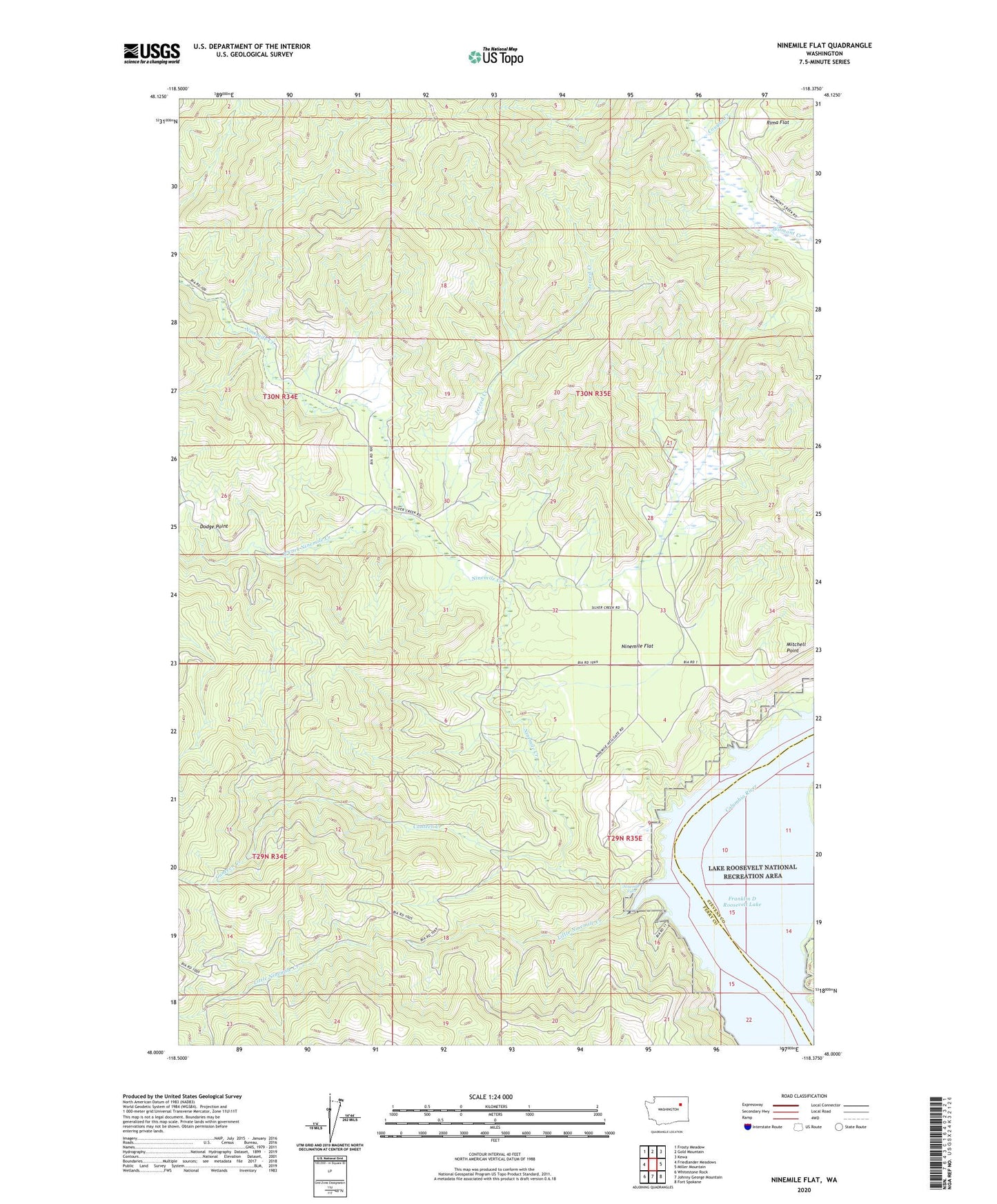
2023 topographic map quadrangle Ninemile Flat in the state of Washington. Scale: 1:24000. Based on the newly updated USGS 7.5' US Topo map series, this map is in the following counties: Ferry, Stevens. The map contains contour data, water features, and other items you are used to seeing on USGS maps, but also has updated roads and other features. This is the next generation of topographic maps. Printed on high-quality waterproof paper with UV fade-resistant inks.
Quads adjacent to this one:
West: Friedlander Meadows
Northwest: Frosty Meadow
North: Gold Mountain
Northeast: Kewa
East: Miller Mountain
Southeast: Fort Spokane
South: Johnny George Mountain
Southwest: Whitestone Rock
This map covers the same area as the classic USGS quad with code o48118a4.
Contains the following named places: Canteen Creek, Canteen Trail, Cougar Creek, Dodge Point, Jerred Creek, Little Ninemile Creek, Mitchell Point, Ninemile, Ninemile Creek, Ninemile Falls, Ninemile Flat, Rima Flat, South Fork Ninemile Creek