MyTopo
Kewa Washington US Topo Map
Couldn't load pickup availability
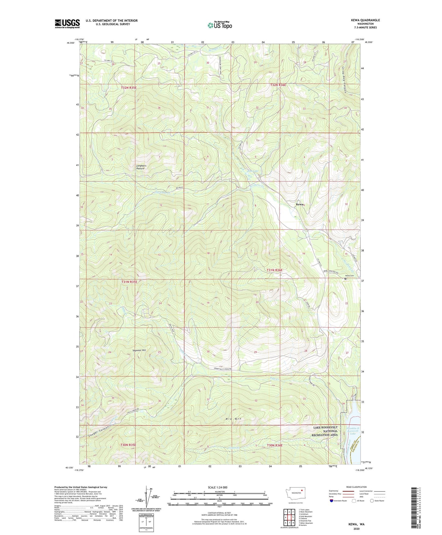
2023 topographic map quadrangle Kewa in the state of Washington. Scale: 1:24000. Based on the newly updated USGS 7.5' US Topo map series, this map is in the following counties: Ferry, Stevens. The map contains contour data, water features, and other items you are used to seeing on USGS maps, but also has updated roads and other features. This is the next generation of topographic maps. Printed on high-quality waterproof paper with UV fade-resistant inks.
Quads adjacent to this one:
West: Gold Mountain
Northwest: Twin Lakes
North: Moon Mountain
Northeast: Inchelium
East: Cedonia
Southeast: Hunters
South: Miller Mountain
Southwest: Ninemile Flat
This map covers the same area as the classic USGS quad with code o48118b3.
Contains the following named places: Cougar Canyon, Coyote Creek, Falls Creek, Fish Lake, Kewa, Kewa Cemetery, Kewa School, Longhairs Pasture, Middle Mountain, Seymour Hill