MyTopo
Weissenfels Ridge Washington US Topo Map
Couldn't load pickup availability
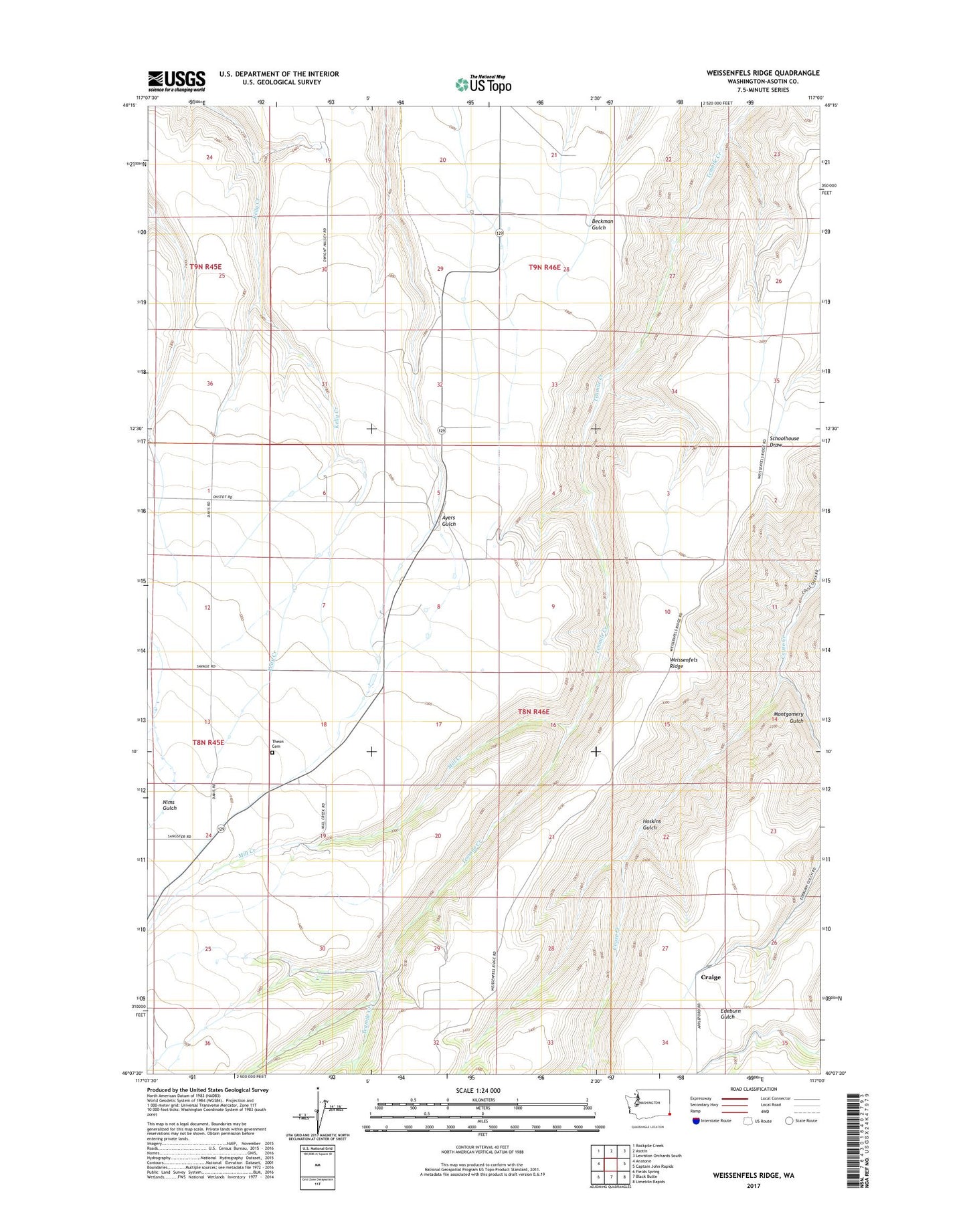
2023 topographic map quadrangle Weissenfels Ridge in the state of Washington. Scale: 1:24000. Based on the newly updated USGS 7.5' US Topo map series, this map is in the following counties: Asotin. The map contains contour data, water features, and other items you are used to seeing on USGS maps, but also has updated roads and other features. This is the next generation of topographic maps. Printed on high-quality waterproof paper with UV fade-resistant inks.
Quads adjacent to this one:
West: Anatone
Northwest: Rockpile Creek
North: Asotin
Northeast: Lewiston Orchards South
East: Captain John Rapids
Southeast: Limekiln Rapids
South: Black Butte
Southwest: Fields Spring
This map covers the same area as the classic USGS quad with code o46117b1.
Contains the following named places: Ausman Ranch, Craige, Hoskins Gulch, Mill Creek, Montgomery Gulch, Theon, Theon Cemetery