MyTopo
Rockpile Creek Washington US Topo Map
Couldn't load pickup availability
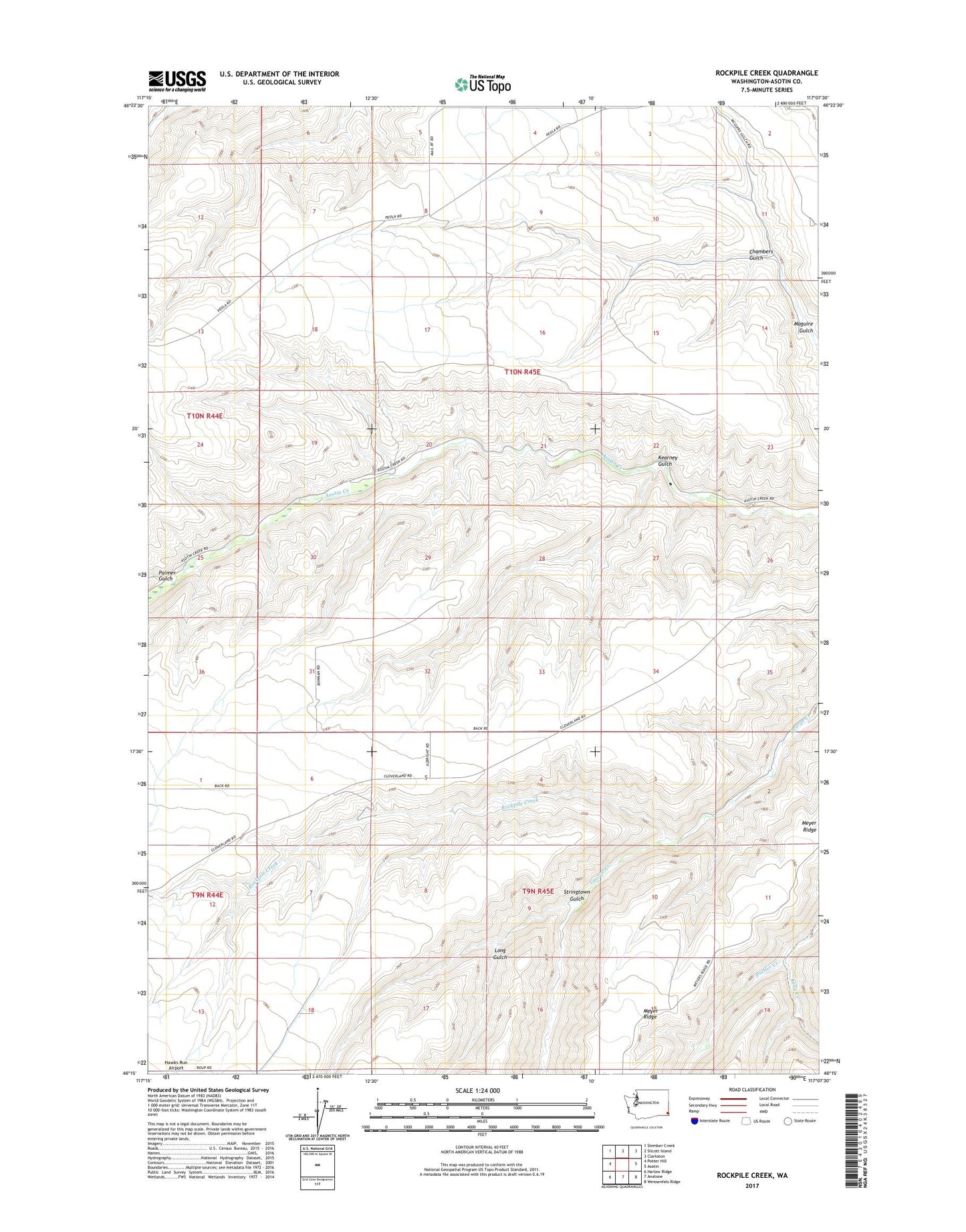
2023 topographic map quadrangle Rockpile Creek in the state of Washington. Scale: 1:24000. Based on the newly updated USGS 7.5' US Topo map series, this map is in the following counties: Asotin. The map contains contour data, water features, and other items you are used to seeing on USGS maps, but also has updated roads and other features. This is the next generation of topographic maps. Printed on high-quality waterproof paper with UV fade-resistant inks.
Quads adjacent to this one:
West: Potter Hill
Northwest: Stember Creek
North: Silcott Island
Northeast: Clarkston
East: Asotin
Southeast: Weissenfels Ridge
South: Anatone
Southwest: Harlow Ridge
This map covers the same area as the classic USGS quad with code o46117c2.
Contains the following named places: Chambers Gulch, Headgate County Park, Kearney Gulch, Kelly Creek, Long Gulch, Palmer Gulch, Rockpile Creek, Stringtown Gulch