MyTopo
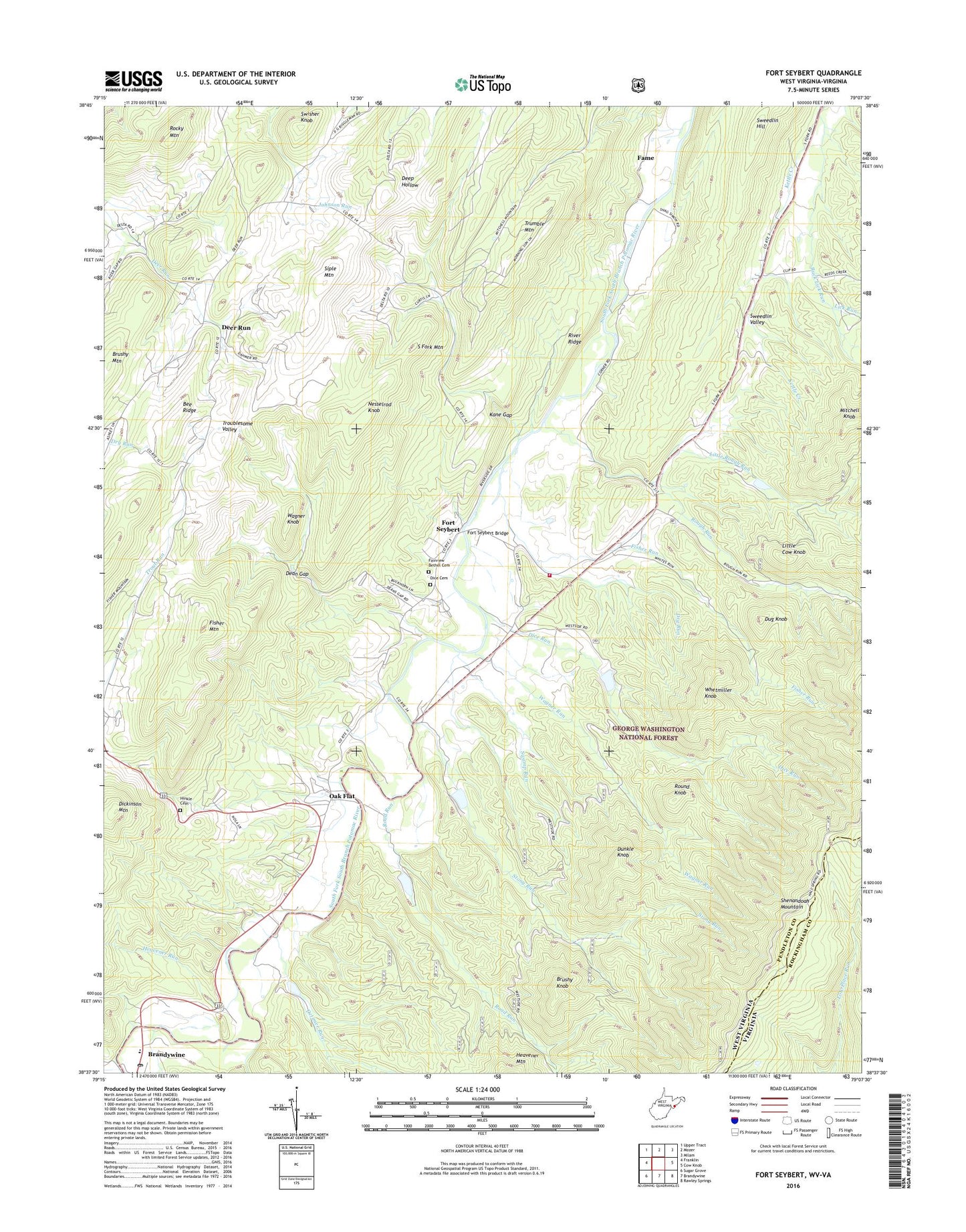
Fort Seybert West Virginia US Topo Map
Couldn't load pickup availability
Also explore the Fort Seybert Forest Service Topo of this same quad for updated USFS data
2023 topographic map quadrangle Fort Seybert in the states of West Virginia, Virginia. Scale: 1:24000. Based on the newly updated USGS 7.5' US Topo map series, this map is in the following counties: Pendleton, Rockingham. The map contains contour data, water features, and other items you are used to seeing on USGS maps, but also has updated roads and other features. This is the next generation of topographic maps. Printed on high-quality waterproof paper with UV fade-resistant inks.
Quads adjacent to this one:
West: Franklin
Northwest: Upper Tract
North: Mozer
Northeast: Milam
East: Cow Knob
Southeast: Rawley Springs
South: Brandywine
Southwest: Sugar Grove
This map covers the same area as the classic USGS quad with code o38079f2.
Contains the following named places: Bee Ridge, Bethlehem Church, Brandywine Elementary School, Brandywine Post Office, Brushy Knob, Brushy Mountain, Buck Lick Run, Dam Number 11, Dam Number 12, Dam Number 21, Dam Number 9, Dean Gap, Deer Run, Detimer Run, Dice Cemetery, Dice Run, Dry Run, Dug Knob, Dunkle Knob, Fairview Bethel Cemetery, Fairview Bethel Church, Fame, Fisher Mountain, Fisher Run, Fort Seybert, Fort Seybert Bridge, Hawes Run, Heavener Run, Highlands Golf Club, Hinkle Cemetery, Kane Gap, Lick Run, Little Cow Knob, Little Rough Run, Massanutten Police Department, Mitchell Knob, Mount Zion Church, Nesselrod Knob, New Bethlehem Church, Oak Flat, Pleasant Grove Church, River Ridge, Riverside Church, Road Run, Rocky Mountain, Rough Run, Round Knob, Siple Mountain, South Fork #10 Dam, South Fork Structure Number 11 Dam, South Fork Structure Number 12 Dam, South Fork Structure Number 21 Dam, South Fork Structure Number Nine Dam, South Fork Volunteer Fire Department Sweedlin Valley Substation, Stony Run, Sugar Run, Swamp Run, Sweedlin, Sweedlin Hill, Swisher Knob, Trumble Mountain, Wagner Knob, Wagner Run, Whetmiller Knob, ZIP Code: 26802


