MyTopo
Hamlin West Virginia US Topo Map
Couldn't load pickup availability
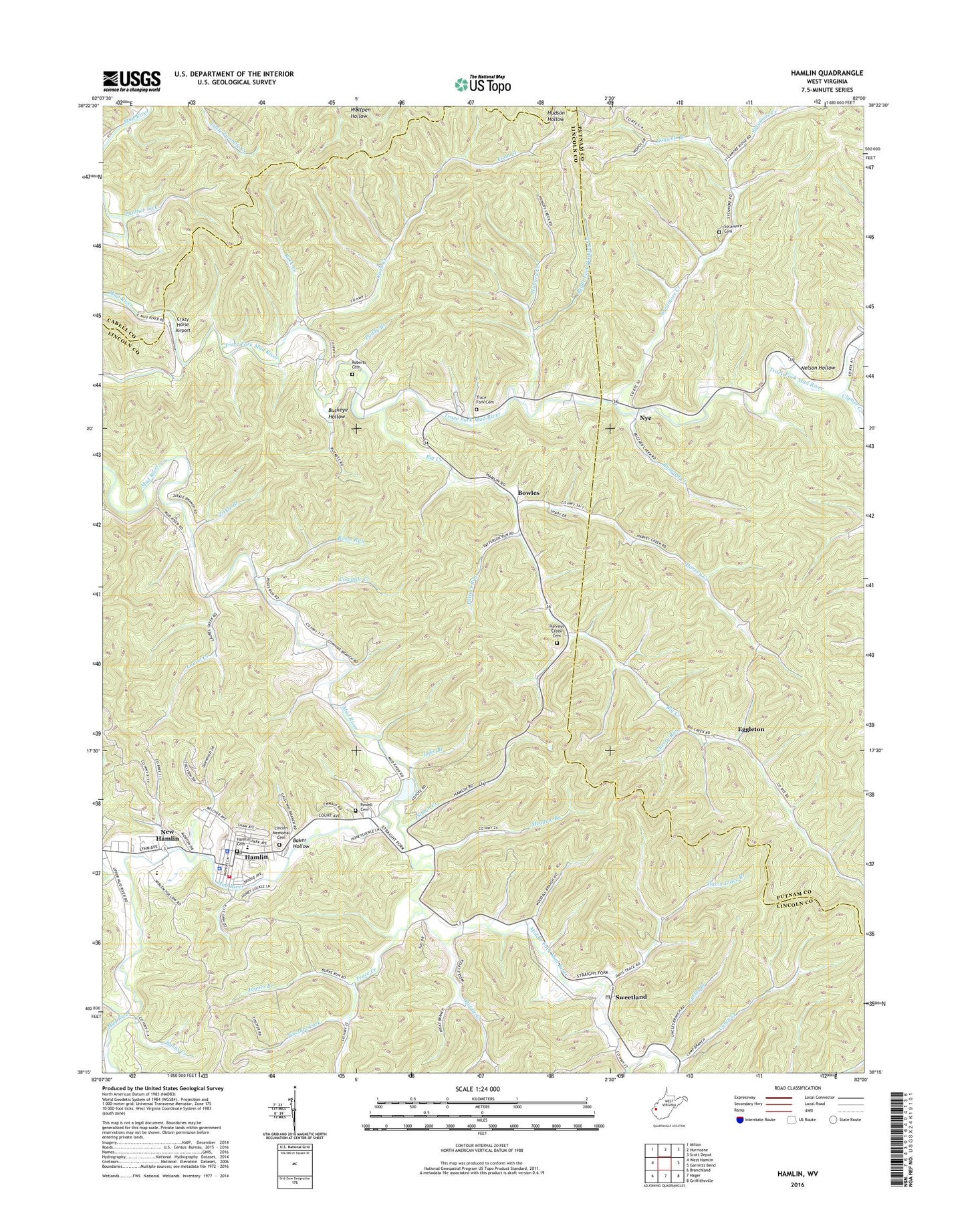
2023 topographic map quadrangle Hamlin in the state of West Virginia. Scale: 1:24000. Based on the newly updated USGS 7.5' US Topo map series, this map is in the following counties: Lincoln, Putnam, Cabell. The map contains contour data, water features, and other items you are used to seeing on USGS maps, but also has updated roads and other features. This is the next generation of topographic maps. Printed on high-quality waterproof paper with UV fade-resistant inks.
Quads adjacent to this one:
West: West Hamlin
Northwest: Milton
North: Hurricane
Northeast: Scott Depot
East: Garretts Bend
Southeast: Griffithsville
South: Hager
Southwest: Branchland
This map covers the same area as the classic USGS quad with code o38082c1.
Contains the following named places: Baker Hollow, Big Creek, Big Creek Church, Bowles, Buckeye Hollow, Burns Creek, Buzzard Creek, Camp Creek, Carroll District, Cherry Run, Clymer Creek, Coon Creek, Cowhide Creek, Crazy Horse Airport, Curry Chapel School, Davis Trace Branch, District 3, Eggleton, Hamlin, Hamlin Cemetery, Hamlin Elementary School, Hamlin High School, Hamlin Police Department, Hamlin Post Office, Hamlin Volunteer Fire Department, Harvey Creek, Harvey Creek Church, Harvey Creek School, Harveys Creek Cemetery, Heck Branch, Hungry Creek, Jaynes Branch, Lake Branch, Laurel Creek, Laurel School, Laywell Branch, Laywell Church, Lincoln County Courthouse, Lincoln County High School, Lincoln County Sheriff's Office, Lincoln Emergency Medical Services, Lincoln Memorial Cemetery, Lower Coon Creek School, Mahone Creek, Meadow Branch, Middle Creek, Middle Creek Church, Middle Creek School, Middle Fork Church, Middle Fork Mud River, Miller School, Moore School, Nelson Hollow, New Hamlin, Nye, Nye Valley School, Paddy Branch, Panther Lick, Patters Run, Peaceful Valley Church, Pleasant Hill Church, Powell Cemetery, Right Fork Hungry Creek, Roberts Cemetery, Rock Creek, Roses Run, Scary Creek, Simon Creek, Sweetland, Sweetland Post Office, Sycamore Cemetery, Sycamore Church, Sycamore Creek, Sycamore School, Tincture Fork, Town of Hamlin, Trace Creek, Trace Fork, Trace Fork Cemetery, Trace Fork Church, Trace Fork Mud River, Uncles Branch, Walnut Grove Church, West Virginia State Police Troop 5 - Hamlin Detachment, Zirkle Branch, ZIP Code: 25523